@ook I have requested this:
Import POI’s as separate file and overlay and allow Lat/Long entry
I would like to request the importing of POI’s as separate files, or entered as Lat/Long and kept as a separate file to overlay the map. My reasons:
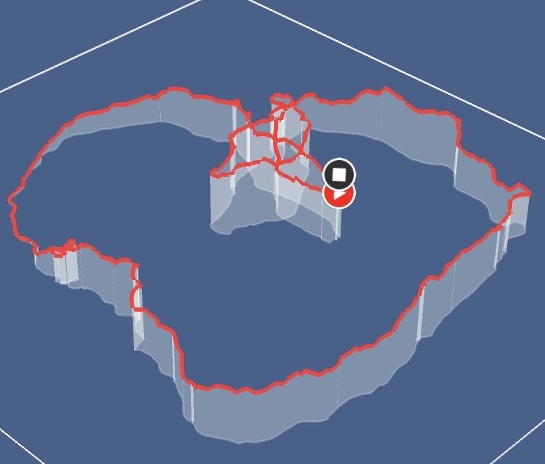
If a file from Google Earth (GPX file) is imported the the POI’s are not allowed if they are more than 50 meters from a route. You are then required to manually select the point. This is not appropriate for long routes as you have no idea where they could all could be a long route (let’s say 100 mile, think multi-day bike packing here). Especially when it comes to planning campsites (they could me a few Km’s from the trail).
Once again thinking of campsites… If not being able to import POI’s of less than 50m from a trail, then with prior planning, campsites could be identified and input into the map as POI’s in Lat/Long and kept as a separate file to overlay the map you have loaded. The POI would also have the option on the phone app to enter info such as phone, POI name and web address so when tapped on the box would show the info.
If Suunto are going to promote this as a GPS watch then POI’s must be made to be able to be loaded as separate entities so they can be used over and over again, regardless of the trail. For long routes where POI’s might be some distance from the actual trail, the 50mtr limitation does not work.
Allow POI’s to be used and created on the desktop version for easy route planning on a much bigger screen. A phone screen is too small for this purpose without a lot of work…