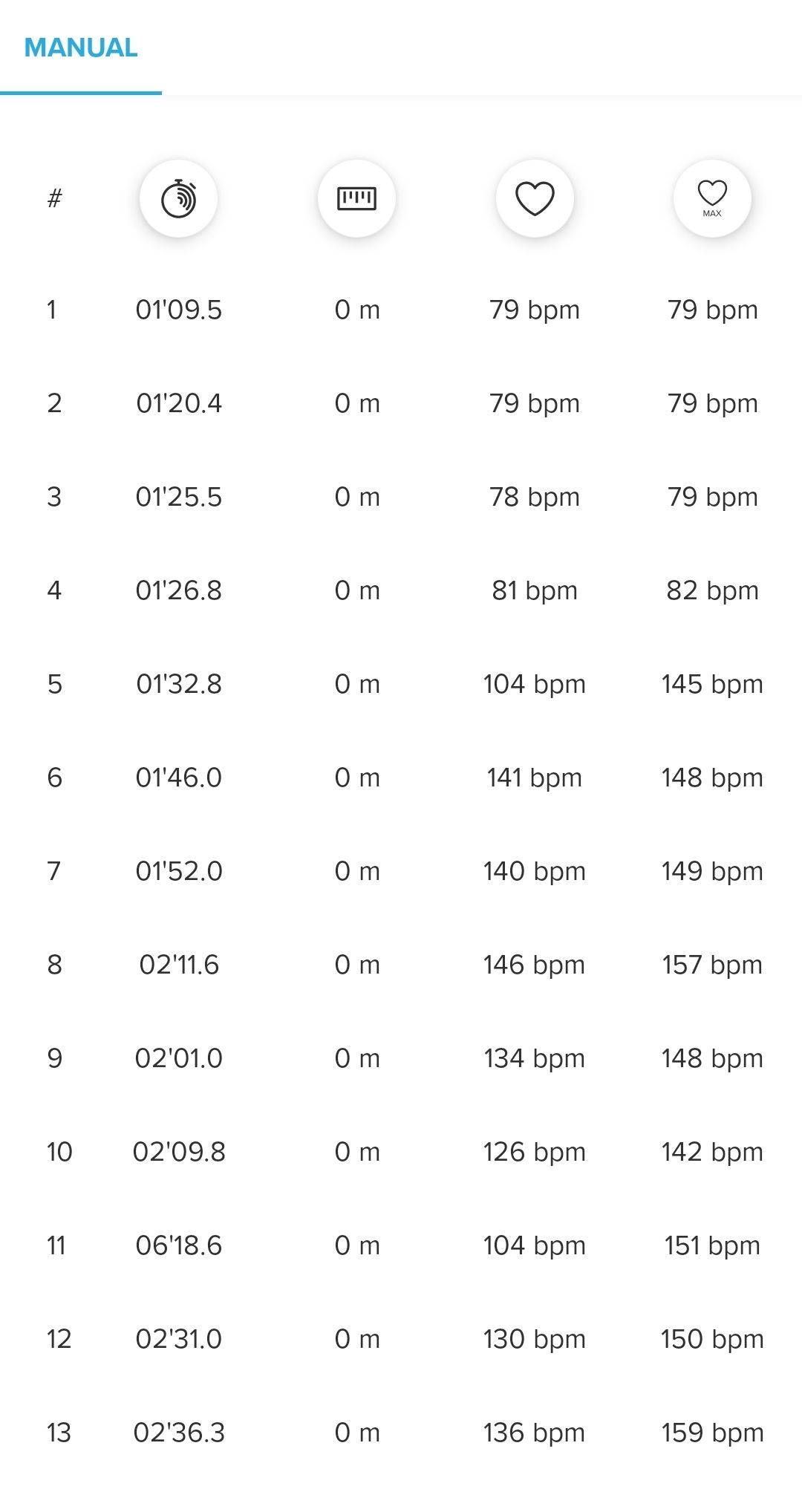
@freenico Looking at these GPS tracks, it appears like the apple software draws a smooth best-fit curve through the recorded nodes whereas Suunto simply shows the recorded nodes and connects them with straight lines. One isnât necessarily better than the other, it is just that the smooth line is prettier whereas I actually appreciate seeing the actual nodes (to get an idea of how accurate the recording is).
As for altitude sensor, Iâve used a Spartan but I think it is different (the one with the external GPS sensor, I think it is called âsportâ or âtrainerâ or something) and it doesnât have an altitude sensor. My Ambit 3 Peak has it, Suunto 9 has it but other than that? I though the other ones just derive the altitude by GPS data and maybe by using acceleration data. But maybe someone else can comfirm.
Edit: This said, some Spartan nodes clearly are off of course, with some of them being outside the water. There was a discussion elsewhere as someone had also a coarse resolution GPS track when swimming and even though mine was a bit coarse, it wasnât as bad as his. We were both using the (regular) Suunto 5. Chances are it was because of swimming style. I was crawling, he was doing a breast stroke. So that might matter too, swimming style. But if you look up that discussion (which I wonât repeat here) GPS just isnât good under water so getting a good recording is also a matter of luck. Same goes for GPS in the mountains or in a dense city. Maybe there are ways to tweak things to get better results. Thatâs what experts are doing with echo (to see tissue inside your body) or sonar (to scan under water). Thatâs a skill on its own. But maybe it just canât be done with GPS because youâre not transmitting the signal hence canât play with frequencies etc. Only advice Iâve seen is, if you want better GPS reception then you need to keep the sensor out of the water. So attach it to a buoy or something.