SA: route planner
-
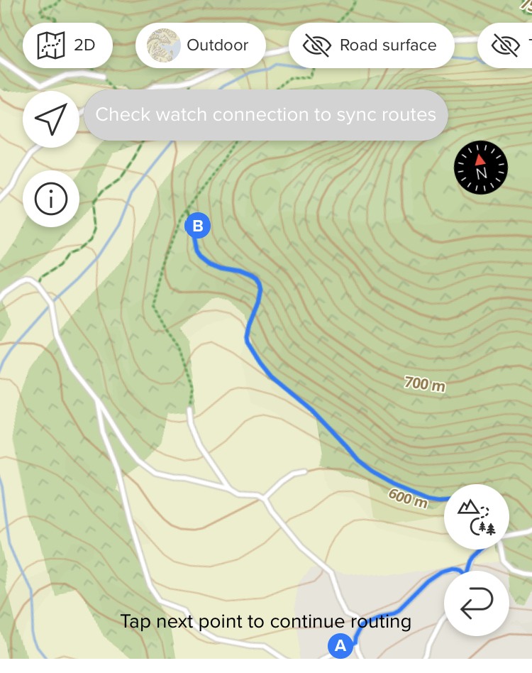
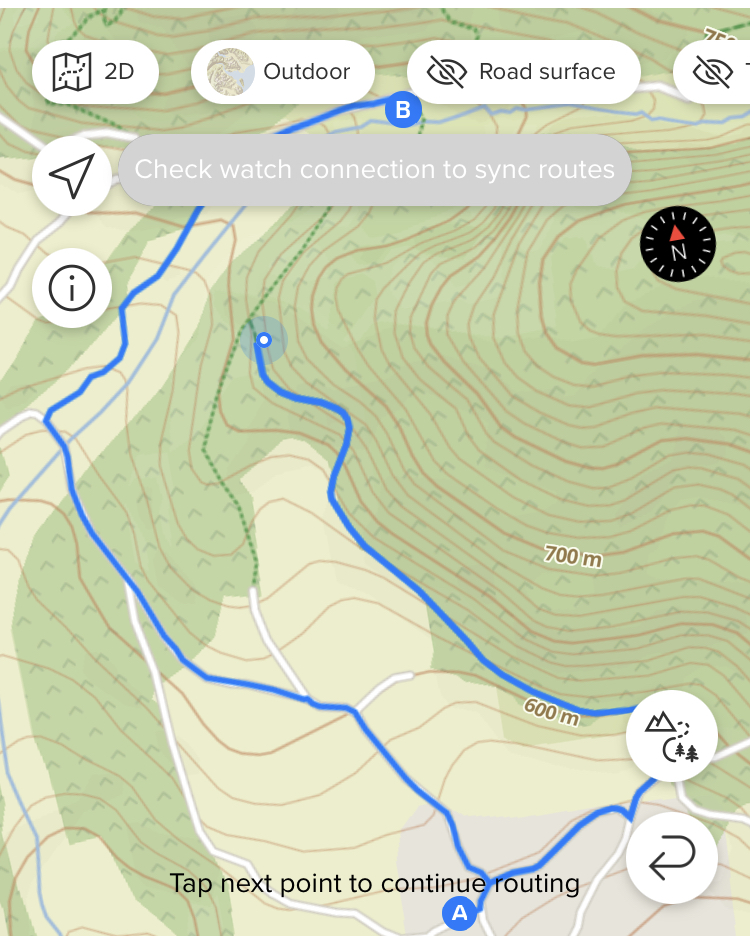
@isazi ok, thanks. Fortunately, I’veseen that I can use free drawing to overcome the problem
-
@gi0vanni in the openstreemap editor you can check why that trail is not routable, examples are private land, difficult terrain, etc.
-
@isazi hmm, tried now w/ komoot. it uses openstreetmap too but it correctly plans the route. am I missing anything?
-
@gi0vanni yes, so it’s been like this for over 3 years and apparently it’s suuntos decision. Everything that is t4+ (like scrambling, via ferrata, difficult hiking path) is visible but not routable in SA. But it is in komoot, where you get a ‘dangerous section’ warning - a much more elegant solution in my opinion. That’s also the reason I tend to use komoot over SA.
-
@DMytro said in SA: route planner:
But it is in komoot, where you get a ‘dangerous section’ warning - a much more elegant solution in my opinion
sure!
thanks a bunch!
-
@DMytro and another issue is, that sometimes elevation is not measured anymore when free drawing a route. Would be such a great tool, but sadly you have to switch to Komoot or Footpath on the phone or plotaroute.com on the desktop. It syncs to Suunto too btw.
-
@gi0vanni I do not agree with @DMytro here
 You cannot route people over possibly dangerous terrain, dangerous terrain is to be left to people that do not need an app to plan routes for them.
 -
@isazi wdym haha. First, you have to define dangerous: for inexperienced people T3 is already dangerous enough (especially since this scale is somewhat subjective and some T3s can be more difficult than some T4s). If people have fear of heights or don’t have proper shoes, then even T2 may be too much. Yet one still allows this sections to be routable.
If suunto wants so much to keep the training wheels mode - that’s fine, but make it optional. You can even make a non-skipable disclaimer every time one routes over such sections ‘may include scrambling/via ferrata/glacier/etc - sure footedness and proper gear is a requirement’.
If I ( I don’t want to call myself experienced, but I did more than a few of T4s, ferratas, etc) want to follow a T4 route in more or less pathless terrain that has a marker here and there, I for sure want to have a route on my watch to have an idea of a general direction. And where else I’m suppose to plot these things? ‘Knowing what one does’ doesn’t assume an intrinsic knowledge of all T4+ paths in the world. At least in my opinion.
Btw, I rarely let an app plan the route for me, but instead of free drawing with tons of points I have to set manually, I usually get away with 10-20 points that I select manually and let the app figure out how to connect them, while I still know every fork that the app is supposed to route me through. -
@isazi then it should be marked with T1-T5 or something like that to represent the difficulty. But stop routing without notification (and I have that on quite easy trails here in my region that it does not route automatically) is the worst option IMHO
-
@trailcafe @DMytro completely agree, I did not know that this is the reason I can not plan routes on certain paths…
-
@Likarnik it is not the only reason, there are trails that are marked as private property, trails that are marked only for some activities, etc.
-
@gi0vanni said in SA: route planner:
missing info in the map or what? (btw, that piece of forbidden path does not present any difficulty, nor it’s private)
As I already said, find it in the openstreemap editor and check. Openstreetmap is a community effort, so there are errors that users can fix.
Edit: I can also check that for you if you share the position of that trail
-
@isazi it’s marked highway=path so should not be a problem (used by pedestrians, small vehicles like bicycles, and/or animals. This includes walking and hiking trails, bike paths, horse and stock trails, mountain bike trails, as well as multi-use paths for cyclists and pedestrians or similar combinations)
-
@gi0vanni Where is this path? Tell us, so we can check it.
I changed some feutures in OSM because it was wrong mapped and not routable in SA.
-
@gi0vanni
highway=pathmay not be enough, depending on other metadata of the track -
@Mitch9 said in SA: route planner:
Where is this path?
-
-
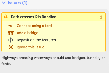
I guess the problem is very probably the river crossing


-
@Mitch9 said in SA: route planner:
@gi0vanni I think the problem is this:
sac_scale: unknown
So the SA planner always avoids paths where key sac_scale is unknown?
-
different, but related to SA planner. It makes me crazy planning route for road biking, where it:
- does not follow straight road and use non logical shortcuts
- prioritize cycling paths (even sidewalks) over the road
so in order to use tbt I have to manually adding planning points to avoid using of shortcuts, what is really pita.

