Maps Update Rollout, March 2026, Staged
-
@mich-heller I have to find latest apk, now I see map update

-
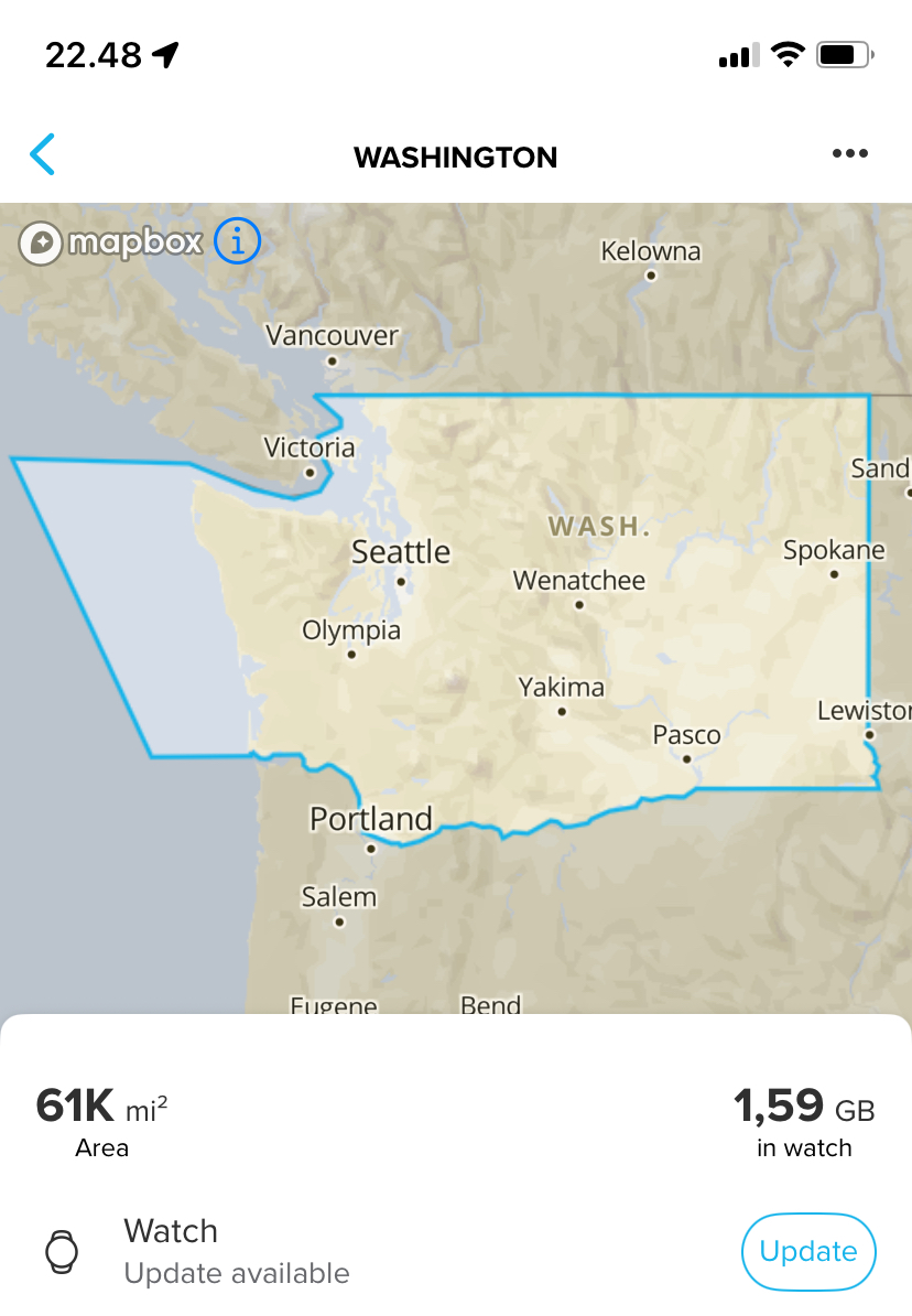
I can’t update any maps. I live in The Netherlands and have The Vertical 2. The app doesn’t seem to be upgraded, but I’m not on beta.
Is it known when the roll out for the app will start and/or be final?
-
@Horizontal_2 then wait, I also have no updates yet, once the new Android App is released we’ll both receive the updates.
Watch: Suunto Vertical 2 Titanium Black
Blog: isazi's home
-
@isazi yes, please, icons update will be much appreciated
 some of them are not quite visible on dark maps - like parking lot and shopping mall/store for example
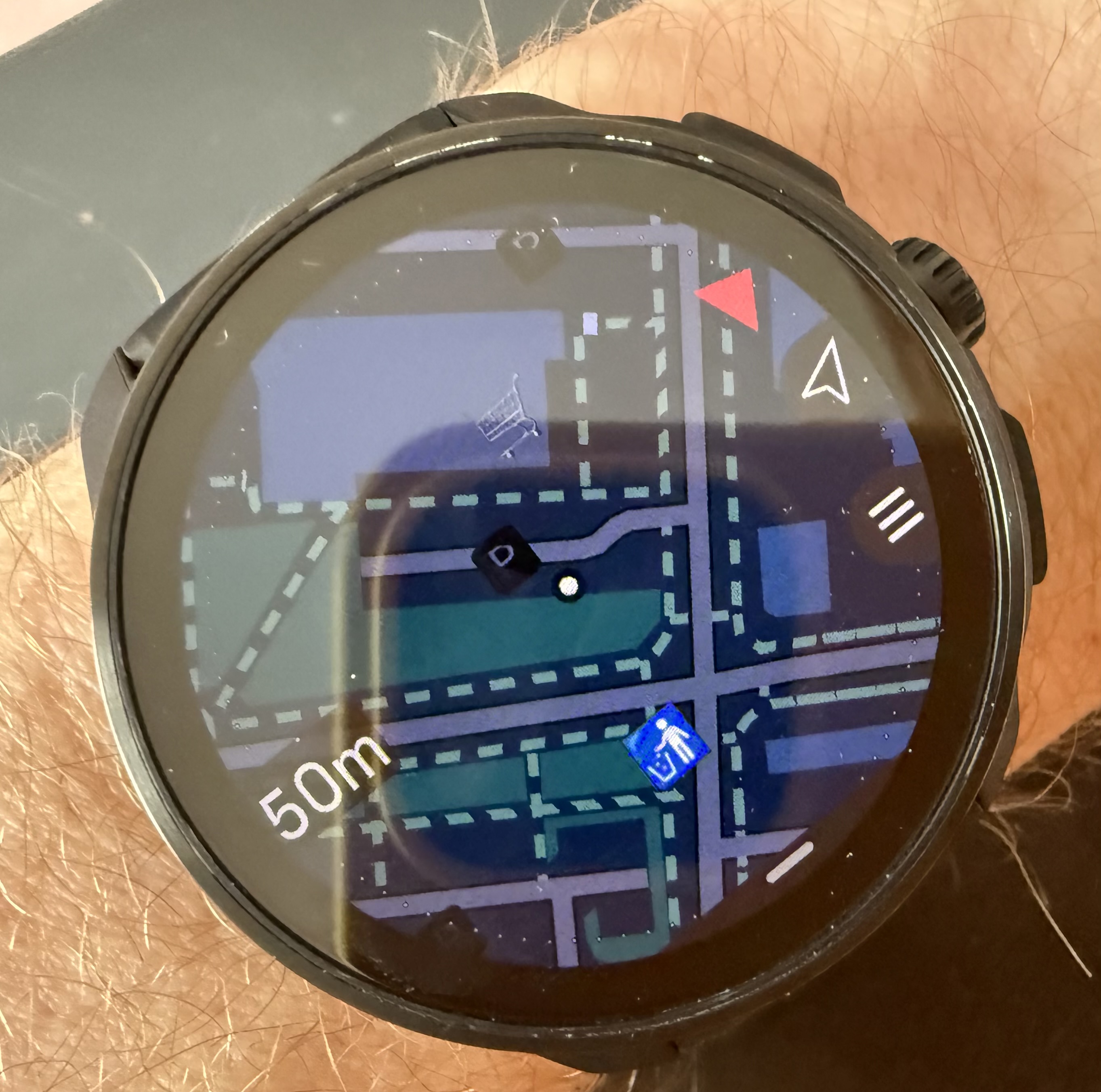
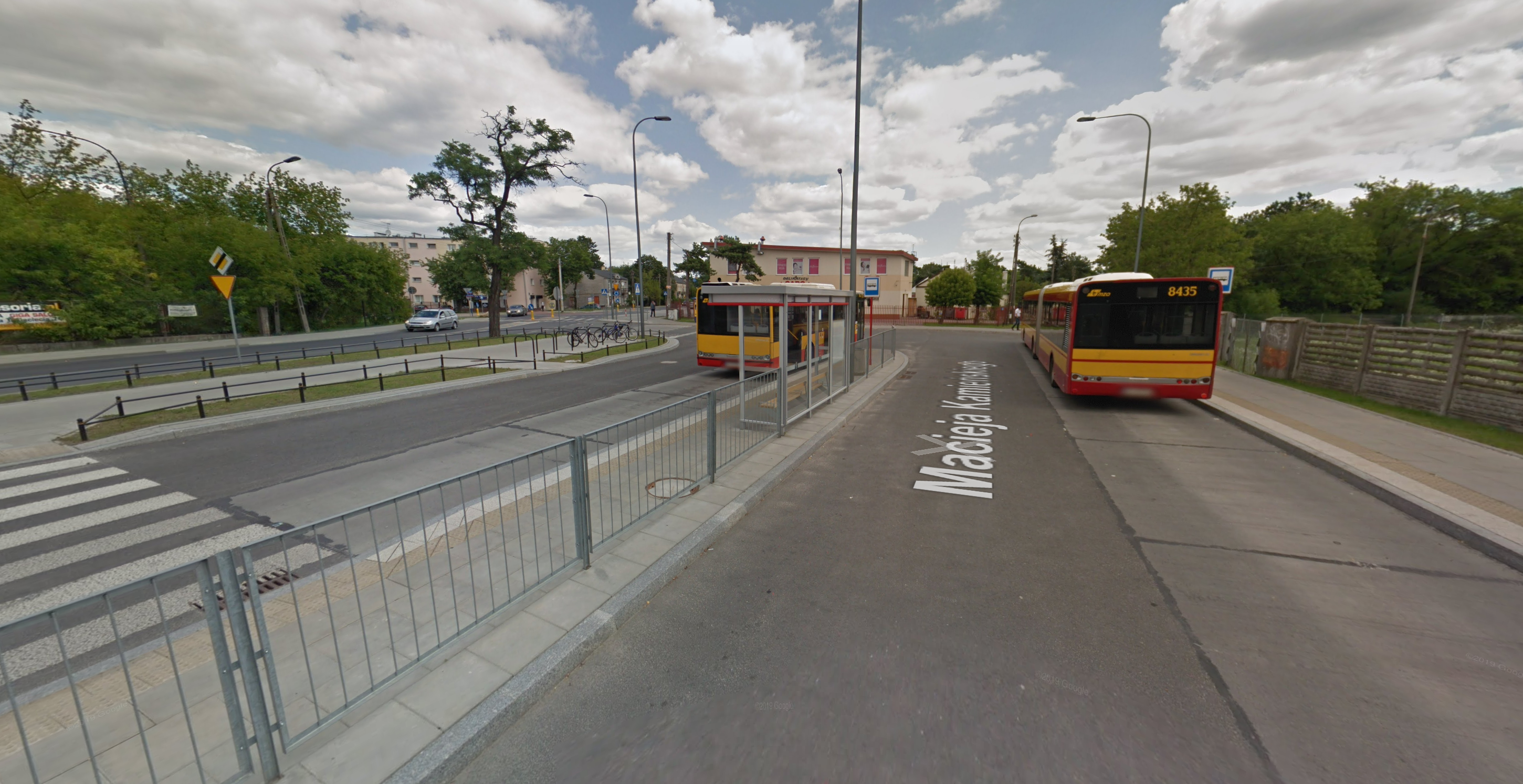
Also… what is this blue icon in front of a bus? It looks like a bed?
Race 2 titanium + Wing 2 | 9 Baro titanium | Ambit3 Peak
-
@isazi I’ll be waiting patiently
-
@isazi those look good enough, but good to know, thanks!
-
@mich-heller said in Maps Update Rollout, March 2026, Staged:
Also… what is this blue icon in front of a bus? It looks like a bed?
Dangerous drivers? Or this?
-
@Fenr1r neither
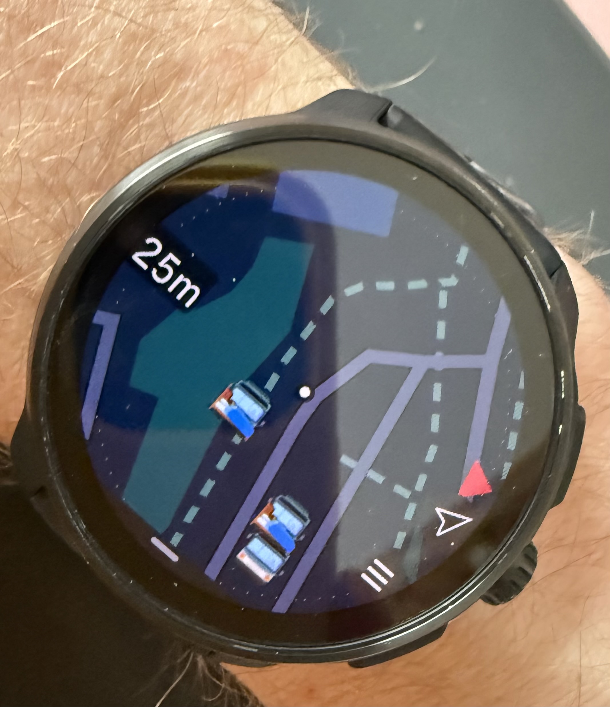
I live nearby, and this is a bus stop for a regular, public city transportation. that’s why i’m asking 'cause it looks weird -
@mich-heller
must be a shelter then -
@freeheeler
 we dont have shelters in Germany at the bus Station looks like a Icon like a hostel / bed & breakfast Something Else. But NOT at the bus Station
If it doesn't challenge you, it doesn't change you. #lifewithasthma #runwithasthma #nevergiveup #pushinglimits #adventurestartshere Suunto Ambit 3 Peak , D9, Vertical Ti, Race , RaceS Courtney, Race 2, Vertical 2, SA (Beta) Android Insta: @gipfelkind
-
@GiPFELKiND
the icon in my neighbourhood locates this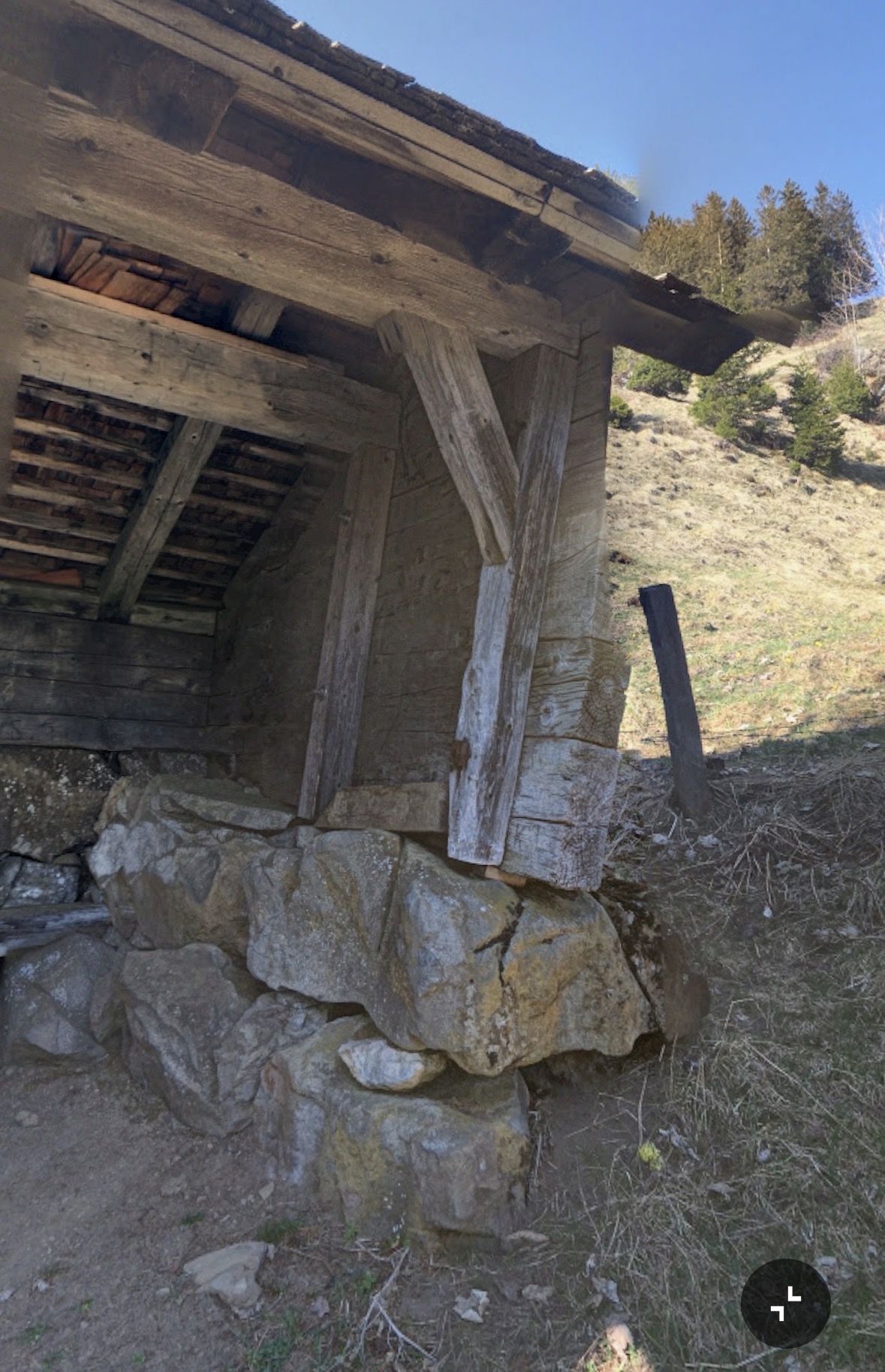
living sideways
-
@freeheeler Plausible. Soft pillows?
-
@freeheeler that makes sense
this is the area from where my “bed icons” are. certainly no shelters here
Race 2 titanium + Wing 2 | 9 Baro titanium | Ambit3 Peak
-
@mich-heller check on OpenStreetMap what is there, if there isn’t a shelter edit it.
-
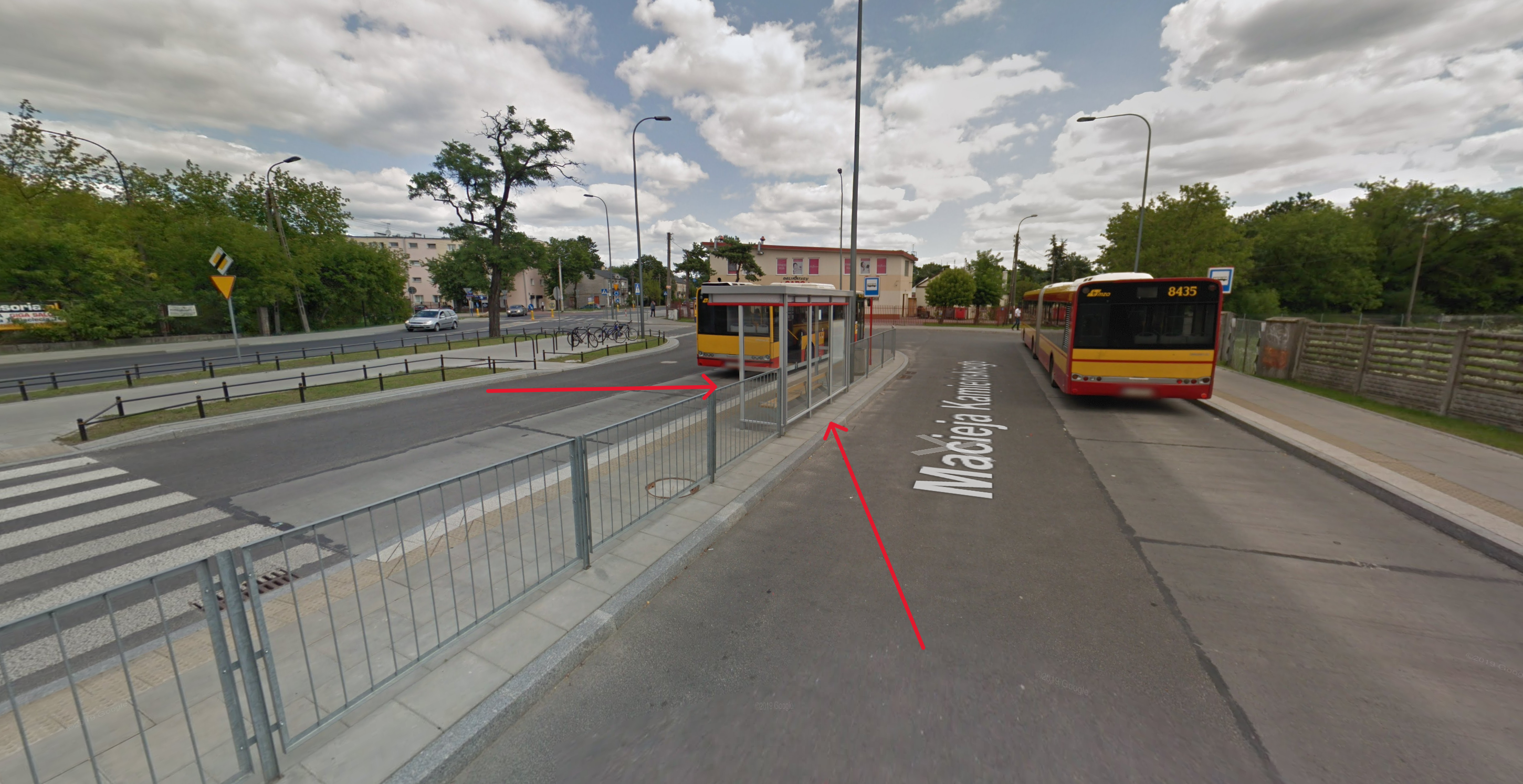
@mich-heller How about this one?
-
A lot has been done. The new maps look great, especially the place names. Now it’s time to add trail numbers / route names

 Thanks
 -
@mich-heller @freeheeler @gipfelkind Those are indeed shelters as labelled in OSM. Even tiny bus shelters like the one in @mich-heller’s photo will be labelled as such by micro-mappers. I guess they’d work if you need to get out of the rain?

This is one of the issues Suunto will face in using OSM data. There’s simply too much data in some places making it hard to distinguish what is actually important for someone using the watch or app to find, for instance, an actual storm shelter. You can really see this in dense urban areas where every single sidewalk and crossing has been mapped. It turns the map renderings into spaghetti.
Vertical Ti / S9PP Ti / S9P Ti
-
@duffman19 exactly! This is also why feedback on this is important, this is only the first implementation, and now real users can provide feedback on what is valuable and what not.
-
@duffman19 More advanced filtering would be useful here. If “shelter” is used with “bus,” or whatever OSM uses, then the shelter is marked as a regular bus stop. In theory, this seems like a primitive problem, very easy to solve.
-
@Fenr1r yup, this is a bus stop
@duffman19 this makes sense as simple shelter, but still the bed icon is a little too much for this categoryRace 2 titanium + Wing 2 | 9 Baro titanium | Ambit3 Peak
Hello! It looks like you're interested in this conversation, but you don't have an account yet.
Getting fed up of having to scroll through the same posts each visit? When you register for an account, you'll always come back to exactly where you were before, and choose to be notified of new replies (either via email, or push notification). You'll also be able to save bookmarks and upvote posts to show your appreciation to other community members.
With your input, this post could be even better 💗
Register Login