What do you expect from the next update?
-
@dreamer_ said in What do you expect from the next update?:
The Step Counter seems fixed fixed for me. I need to test it better but, for now, it is not counting steps all time like it was before. Fantastic.It seems broken. It is impossible to have more than 1400 steps at this moment in the morning (in one hour and half since I woke up)
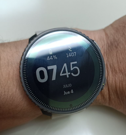
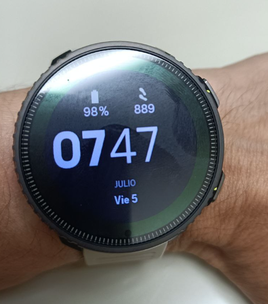
Just to confirm that the soft reset worked. Today, waking up at the same time and walking the same distance I have a lot more realiable result at the same hour:
-
@maszop said in What do you expect from the next update?:
@Stefan-Kersting You know, maybe I’ll refrain from commenting on your idiotic argument. (If I wrote what I think about it, I would have to be banned
 )
)One photo is enough to show that you (and a few others) have no idea what you are talking about.
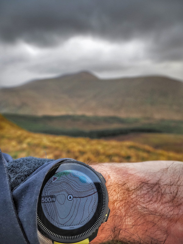
I don’t know how big an impact it would have on performance, but having contour lines at 500 m zoom would really make maps much much more useable in the mountains. I’d be fine with a bit slower interface to get this view.
-
@maszop said in What do you expect from the next update?:
I just don’t understand how you can write such nonsense over and over again.
Sure, I should have explained it better to have you understand it, but it is difficult when talking with a toddler

-
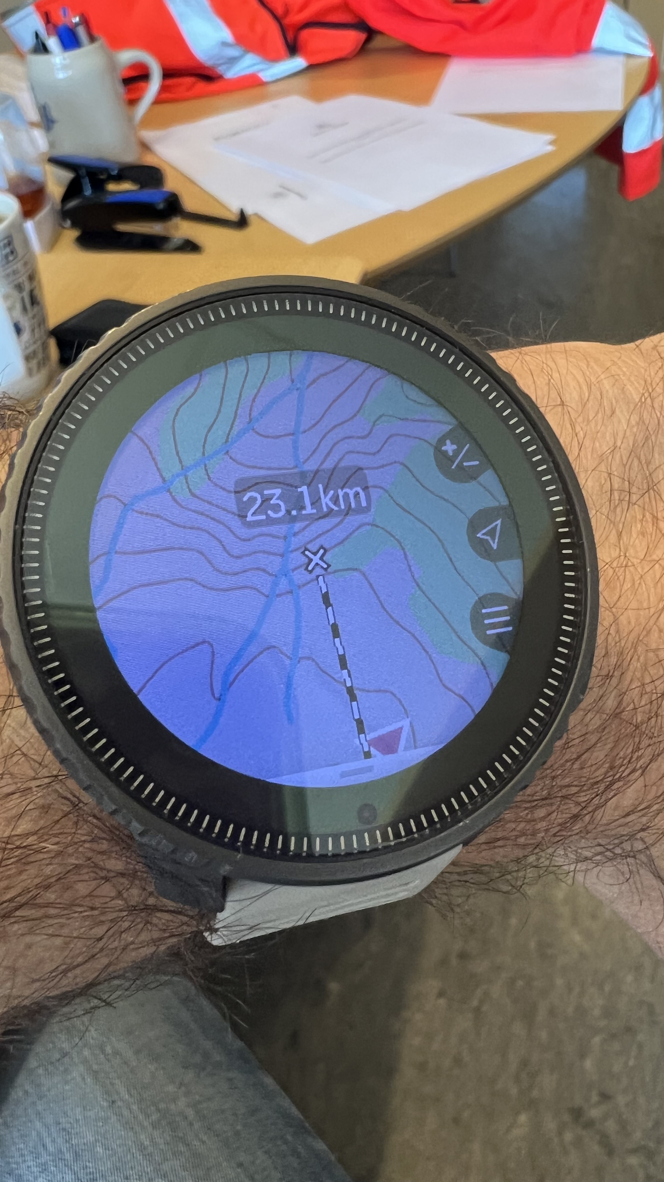
@maszop My map looks like this when using the 500 m scale. Isn’t that good enough?
-
@Stefan-Kersting mine look like this
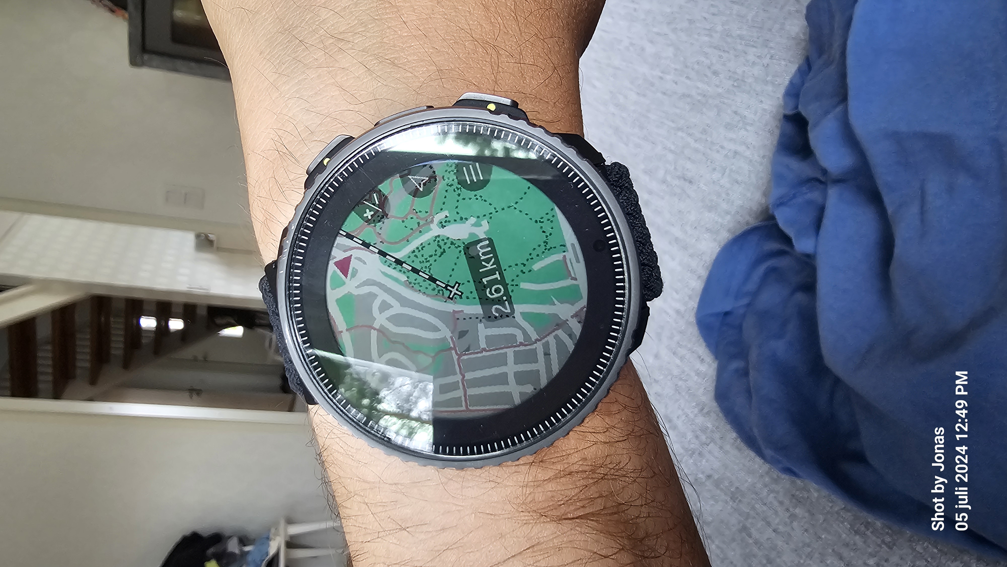
And here are the same 200 m
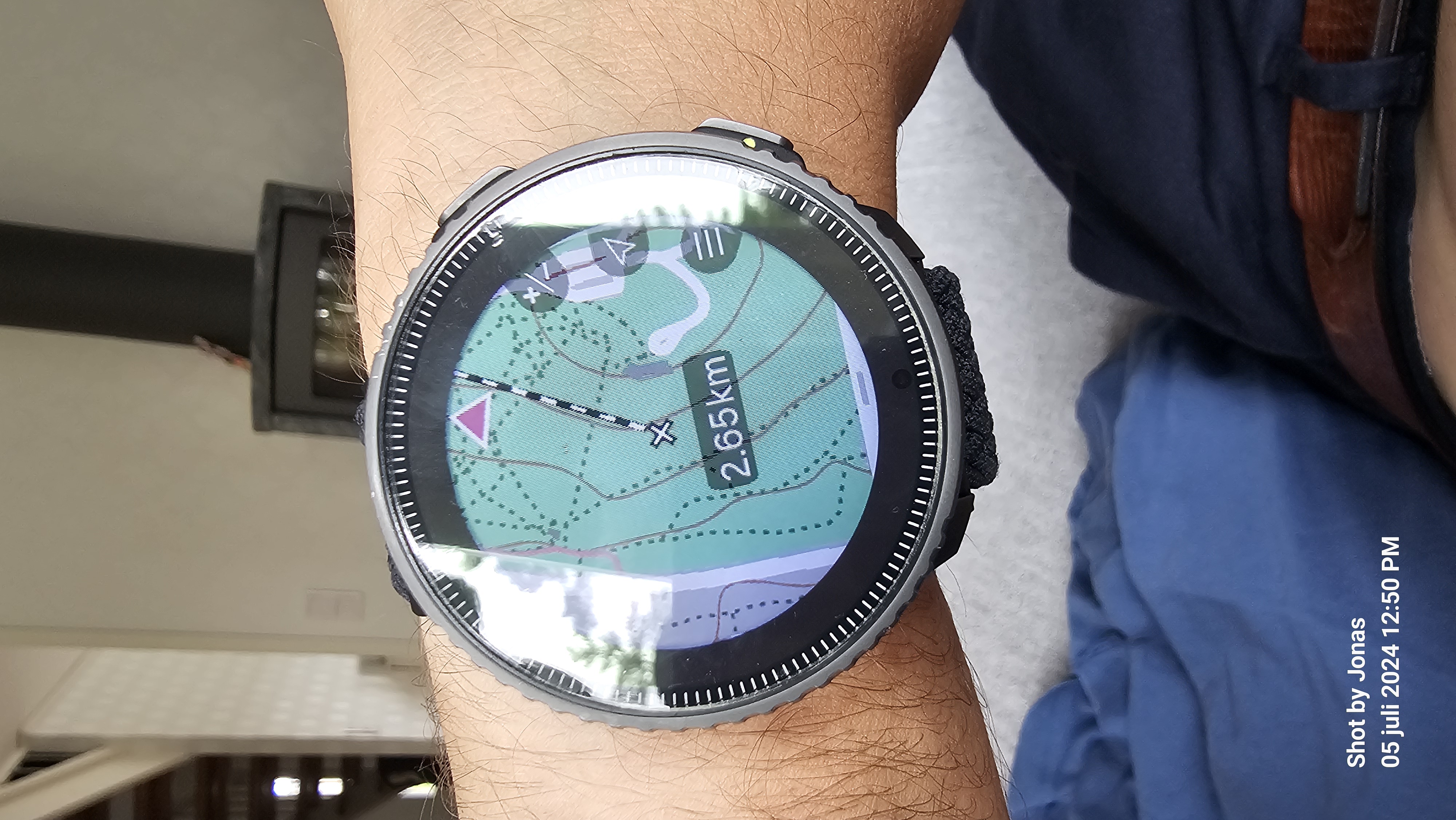
During summer MTB riders use it for downhill, and winter it’s skiing.
-
@Iggge for sure, it is depending of the topography and how steep it is. Using the watch for hiking, backcountry and MTB
-
@Stefan-Kersting “for sure, it is depending of the topography and how steep it is”.
True, 'nuff. That doesn’t seem too cluttered to be returned to other maps. What is the contour separation shown in that 500m zoom pic?
-
@Stefan-Kersting This is not a 500m view because there are no contour lines in that view in Suunto anymore. The current maps in this case are just a gray background, like the breadcrumb from 9PP and earlier models.
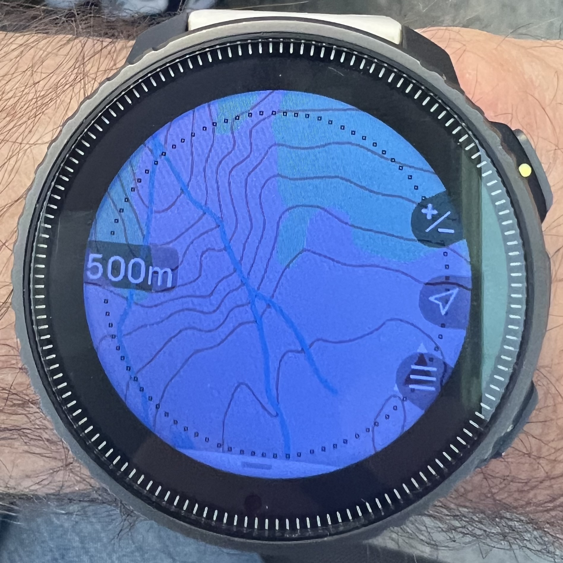
Turn off this useless ruler in this case and on the left you will have a number that symbolizes the zoom level. In my example, there is 500m from the older version of the maps, before the removal of these contours. -
@maszop I like this ruler very much and don’t want to miss it
 so, I did as you said. I’m excited to hear what you’re saying now.
-
@Stefan-Kersting These are the old maps, these contour lines no longer exist.
I like ruler too, but a ruler is not needed now when talking about contour lines.
-
@maszop apparently they exist. No photoshop, I promise
-
sometimes there are contour lines in the 500m zoom level.
Had them myself when playing around with zoom levels for some time.
maybe sometimes a 200m cached view is used when switching to 500m or so. -
@Egika It looks like it was actually 200m. The view from 500m is a bit different.
-
whatever it looks like - there is a possibility to see contour lines at 500m zoom level.
And yes - this is not the standard.
and yes again: I’d be happy to see them back again for 500m zoom too -
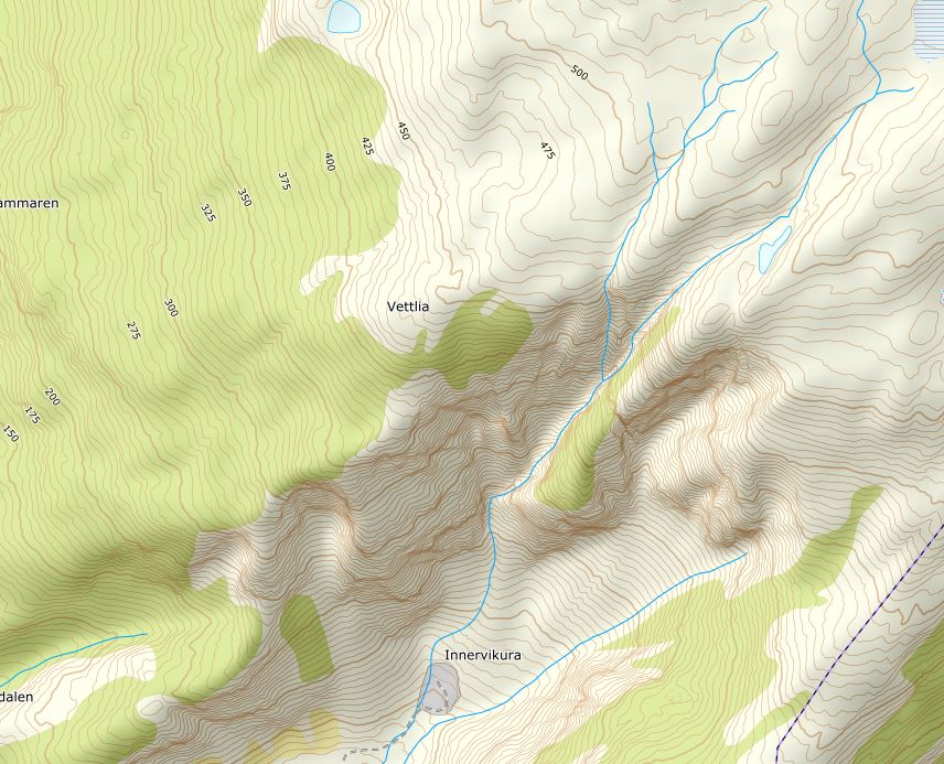
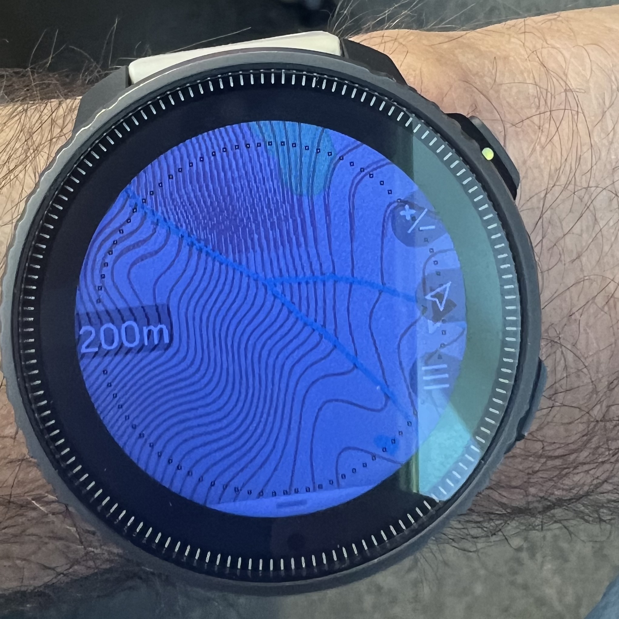
@maszop all right, I did an effort and took a screenshot of the topo map for this area. See also the same area in 200 m scale.
-
@Stefan-Kersting Well, as you can see in this picture, 200 m is sometimes not enough in the mountains to properly see the terrain.
With a view of 500m-1km do contour lines give a more clear image of the slope. -
@maszop no problem, as you can see I have the 500 m contour lines

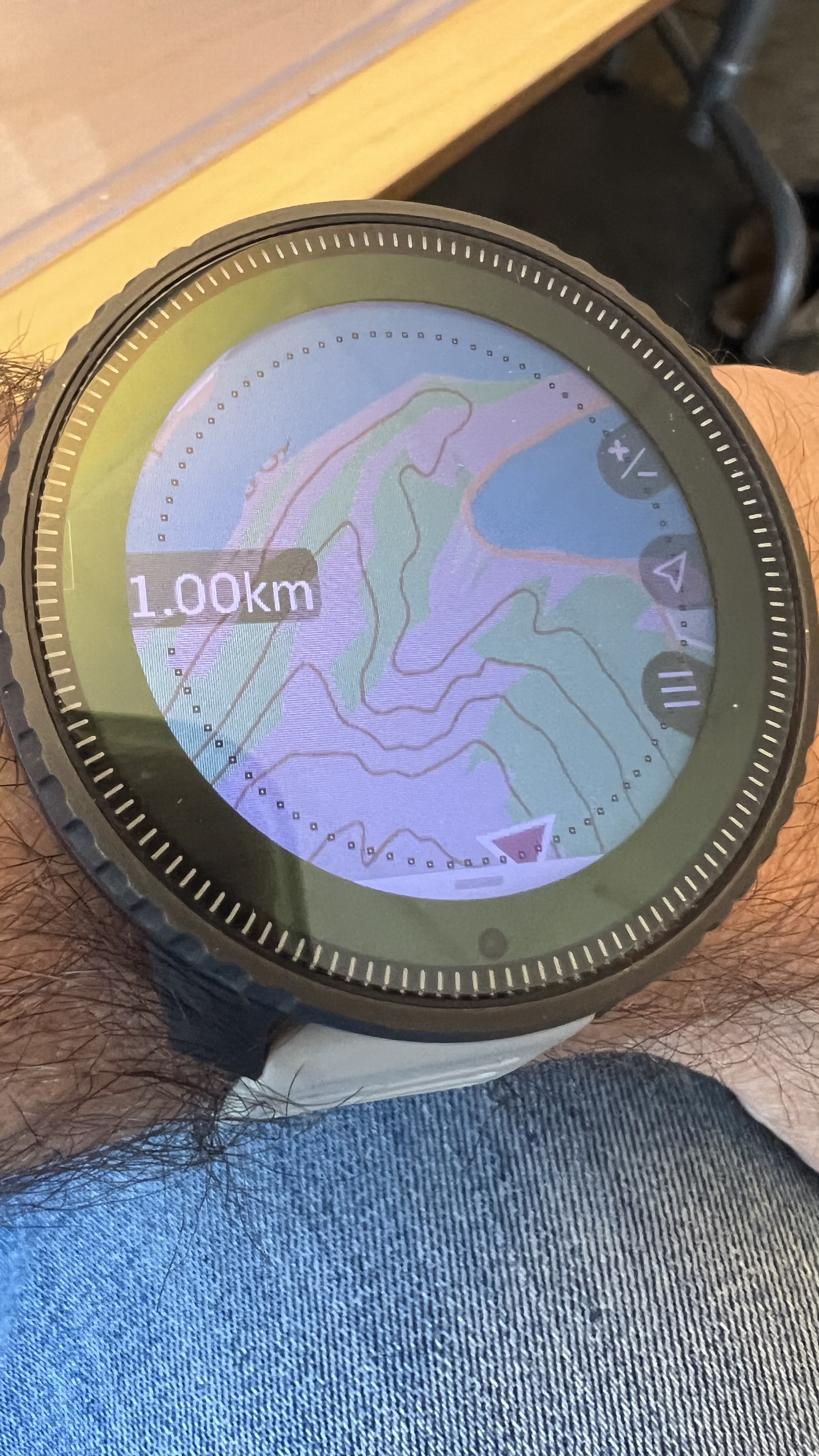
 If you want I can show you the 1 km contour lines, too
-
@Stefan-Kersting said in What do you expect from the next update?:
If you want I can show you the 1 km contour lines, too
Bring 'em on. Let’s see what’s possible.
-
-
@Stefan-Kersting It was like that until December (until “temporary” removal). I myself have some older maps with contour lines that I simply haven’t updated. Which was visible in my earlier photo.
As you can see, they are very clear and readable and it is logical that there is something to complain about.

