Trails on watch map
-
@myles-lasker can you specify the region you downloaded and the position of the trail that is missing, please?
Thx! -
@GiPFELKiND I tried scrolling down to 50m but still had trails missing
-
@Egika I was hiking in Rosengarten area , Niedersachsen, Germany
-
@Ilya-Sul trails not routes. Weird thing is I can see them on suunto phone app but not on the watch
-
@myles-lasker Did you make sure to hit the ''Use in Watch" option after downloading the route to Suunto app?
-
I think the question is about the base map, not about a specific planned route.
-
@6294946 correct. It’s the paths on the map. There are more on suunto app than on watch map
-
@myles-lasker the app uses Mapbox data, the watch is loading OSM. The good thing with OSM is, that you can actively contribute to the data and add missing information.
-
@Egika, today I experienced the same as the Topic starter.
First week owning and exploring the Vertical. Guided Gravelbike ride no problem…
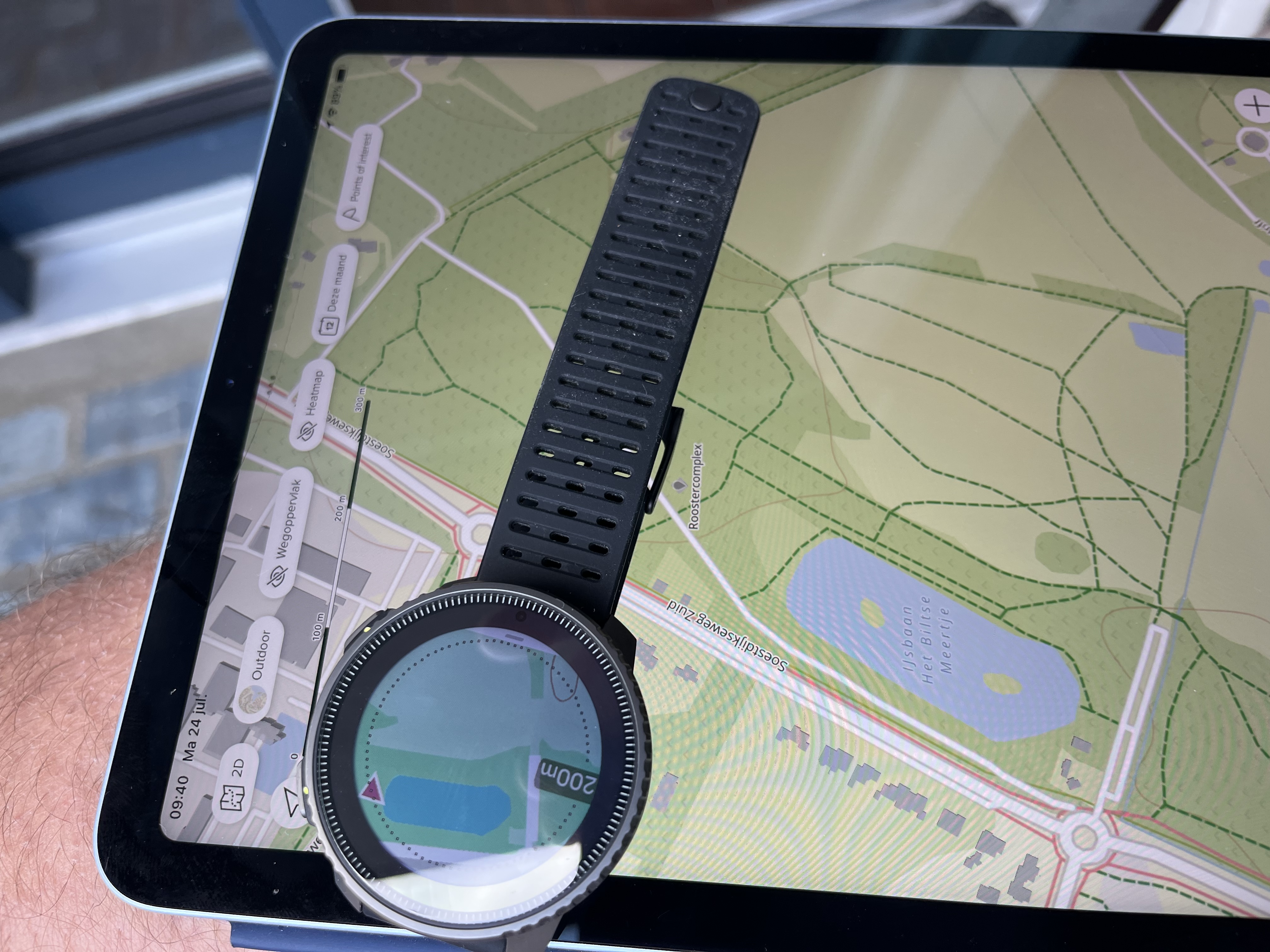
A Stroll through the forest area in the backyard of our hometown this afternoon raised my eyebrows. Looked like was walking in a field of light- and dark geen blankets. but I walks definitely on a unpaved foresttrack.
Back home the map in the app clearly showed dotted lines on the wellknown forresttracks. So, Why are they not uploaded for offline usage?do you mean I can ( and have to) add the data myself to see the Mapbox track in my watch?.
If so, can you give a hint how to do this?
Regards,
Matthew
The Netherlands -
@Dirk483 and @myles-lasker , as @Egika said, you can contribute to OpenStreetmap data following all advices here https://www.openstreetmap.org/fixthemap
But, @Egika , it raises a point where Suunto is using two differents sources of maps in their unique ecosystem App/Watch: Mapbox in Phone app and OSM in watch.
Thus, two different “ways” to contribute to have the same “”“trusted”“”" map data. Not easy, no ?I am personnaly mapping in OSM each time i discover real paths in real life, but, before this case, i never realized that some paths could be known in Mapbox and not in OSM.
@Dirk483 or @myles-lasker , could you share one example of a path you can see in SuuntoApp and which was not in the watch please (just for the sake of looking in OSM) ?
-
Maybe the map data is not up-to-date, because from what I remember Mapbox is using OSM data.
One way to know is to check if the trails are missing on openstreetmap.org also. -
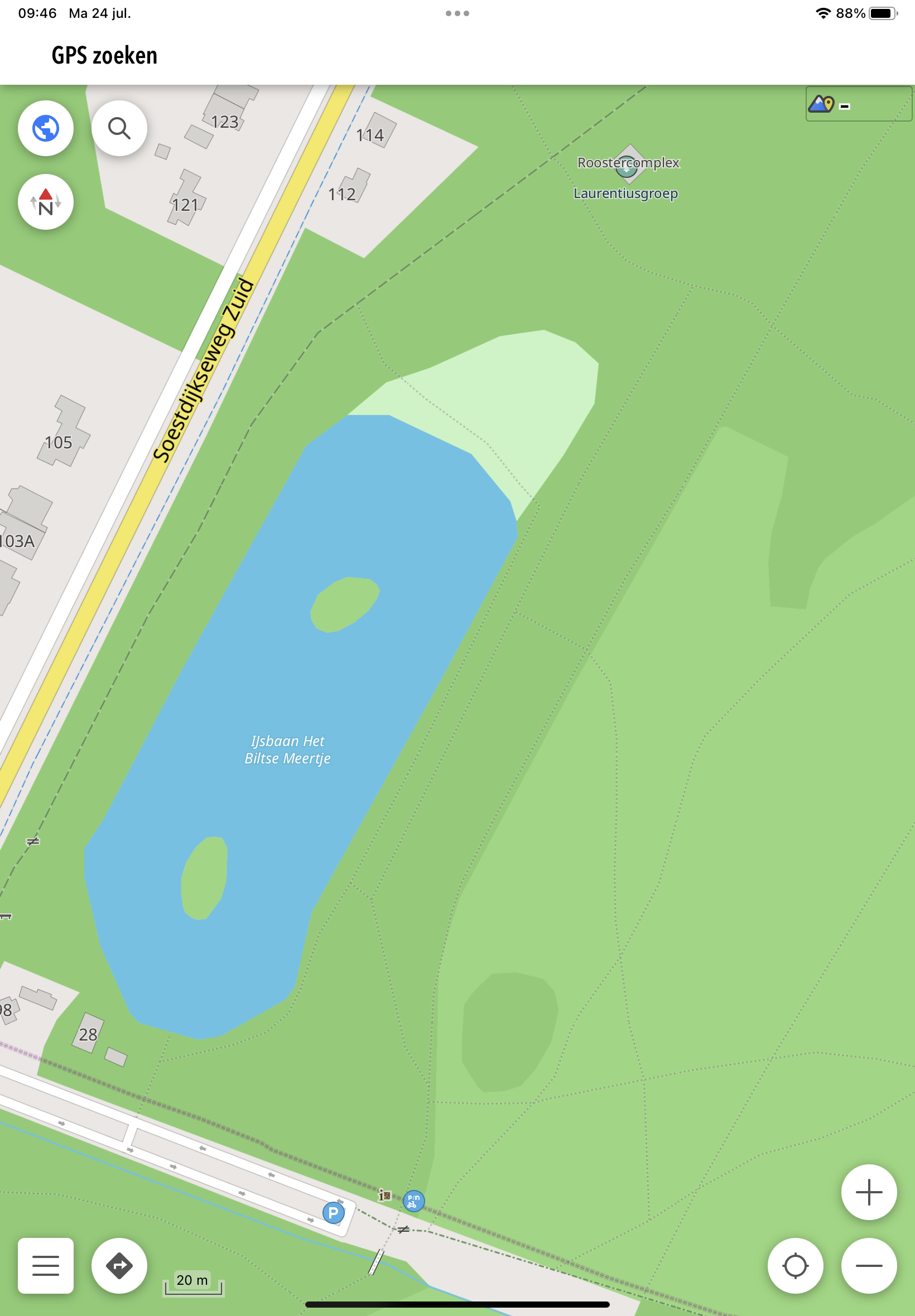
@Mff73 , as you can see, lots of trails. None of them show up on Watch.

-
@Mff73 ,
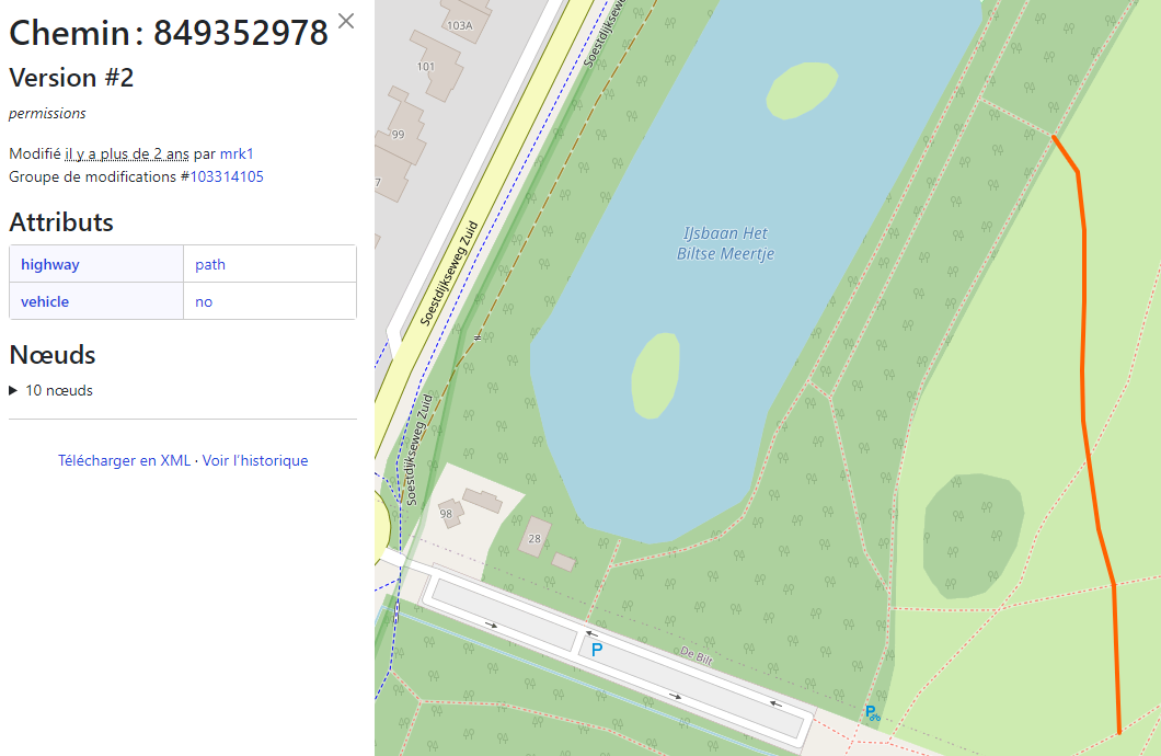
For comparison, OSM does show them. So it should om watch shouldn’t it. Otherwise I would be very frustrated

-
@taziden no… it,s not. See reply above
-
@Dirk483 This indeed seems to be not correct.
If other zoom levels (25,50,100 m) also don’t show those trails, then please let me know the map tile affected and position of your screenshots.Thank you!
-
@Dirk483
thanks, and effectively strange.
Let’s answer the question from Egika. These paths are effectively well in OSM (since quite a long time, and apparently well setup). -
@Mff73 there are different classifications of trails in OSM. Maybe the ones in your example do not match the criteria that are shown on the watch!? Just an assumption…
-
@trailcafe said in Trails on watch map:
@Mff73 there are different classifications of trails in OSM. Maybe the ones in your example do not match the criteria that are shown on the watch!? Just an assumption…
you are right, but these paths (i checked them in OSM) really seems to be well classified.
Highway = path should be enough
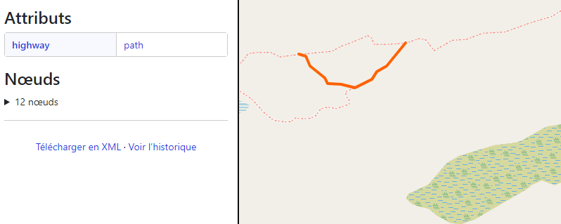
Here is a path i hiked yesterday, and it was on my watch


-
@Egika , thx Egika. Zoomlevels make no difference. Neither does making a route in the area. It does show the route but none of the surrounding trails in the area.
-
@Dirk483 please tell me the affected map tile name and give me coordinates of one of those missing trails please.
Thx!