Best way to add aid stations for a trail running race
-
I’m running a 21k trail race next saturday and I’m wondering what is the best way to add aid stations to the watch via SA.
Should I add them as POI or should I add them as waypoints on the route (gpx upload)?If I add them as POI and they’re not exactly on the route, will the ETA/ETE to the next POI/Waypoint work anyway ?
-
@taziden whether POI or waypoint you will received notification when within 100 meter distance range and also next POI/waypoint. ETA and ETE work excellency on Suunto watch
-
@taziden I would have them as waypoints on the route
-
@taziden I you add as POI the ETA/ETE will be a straight line, if on the route, it will be route line estimates. I would use a route with waypoints on the route.
-
I always import the race course GPX in SuuntoApp and then add the aid stations as waypoints. Also I set one of the data fields on my watch to show “Distance to next waypoint”. It works great. It also considers the end of the route a waypoint, so after you passed the last aid station it shows the distance to the finish.
-
Awesome, I’m adding waypoints then. Thanks a lot to all of you!
-
@taziden said in Best way to add aid stations for a trail running race:
Awesome, I’m adding waypoints then. Thanks a lot to all of you!
Worked perfectly, thanks again!
-
@taziden we are waiting for a race report

-
Here it is.
Race: BK21 (21km, 1660D+)
Location: Bidarray, French Basque Country
Weather: ~20°C, not too cold, not too hot, cloudy, perfect.
https://maps.suunto.com/move/julien630171/64bbb33e6b988238e24447ffGoals: finish in good health, enjoy the scenery
Outcome: put off course at the last time barrier for 3 minutesThis was my third trail running race ever (first one was in february). I chose it because a friend of mine lives nearby and that was a good excuse to visit and spend time outside in Basque Country.
Never done such a hard race, with a big ratio of 79m of elevation per km.
Didn’t train properly for elevation for the past weeks, because of plantar fasciitis.
So it was more of an adventure than a real race for me, with lots of unknown.Great ambiance at the village, start is fast but I’m keeping up. All good. Then comes what will be the pattern for the rest of the race : steep and straight climbs. No switchbacks.
Talking with my basque friends afterwards, this seems to be a local characteristic. They don’t mess around when it’s about getting on top of a mountain, the locals go straight towards it, no matter the incline. My opinion: love it and hate it at the same time. No beating around the bush but when it’s your turn to climb up, oh boy.First checkpoint/aid station, I arrived a bit early, all good (legs, nutrition, etc).
Then the first big descent, and I think I lost a lot of time there.
Second checkpoint/aid station, I arrived “on time”. All good.
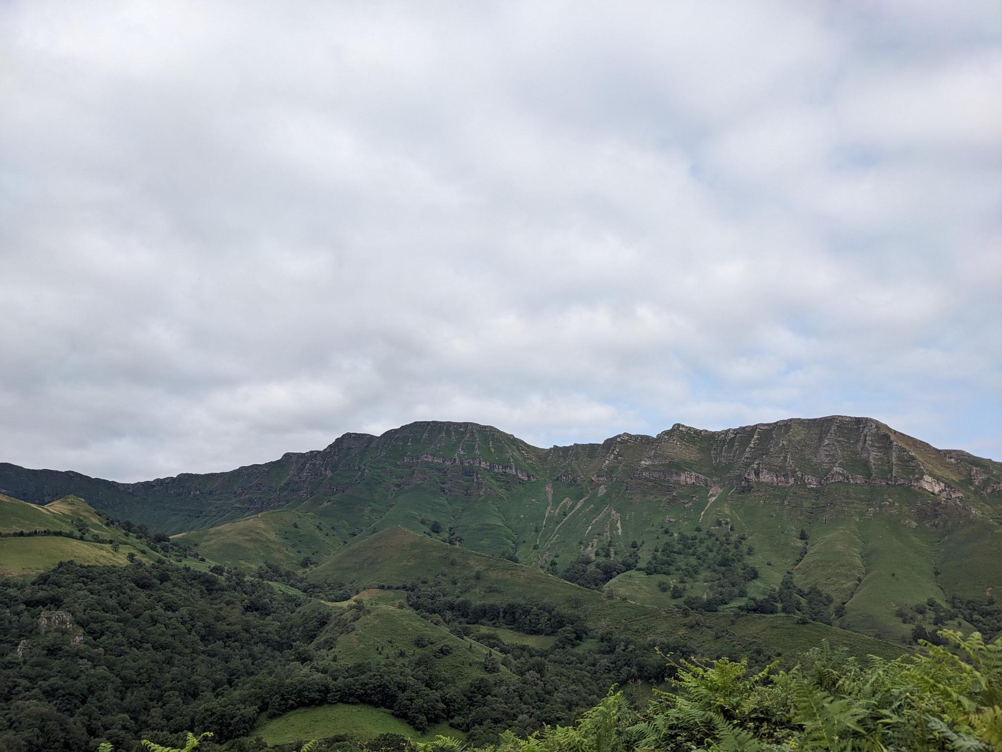
Then the big climb, 600m of elevation in less than 3km, with a very steep (~60%) portion at the end, up a chimney towards the ridges of Iparla.
Another aid station was located half climb, and I spent too much time there as I found out once at the top of the chimney where the final checkpoint was located.
Helped a guy with cramps who stopped in the chimney then finished the climb.There, the checkpoint volunteer stopped me on the ridge and put me off course, because I was 3 minutes late. Precious minutes I lost at the previous aid station and because, well, I was slow anyway.
I decided to skip the final push to the Iparla peak and descend directly to the arrival following the trail, without my bib.
It was hard to enjoy the beautiful scenery in such conditions but I was happy to get there, this chimney was really scaring me before the race, and I didn’t know if I was capable of facing +1500m of elevation in 13km. Turns out I was, just too slow.I finished the race quite fresh and happy to come back to my friends healthy, in one piece.
On the Suunto front: gps took a long time to acquire a fix at the beginning, I lost a few hundred meters at the start of the race. I used the Climb S+ app, and my main display was 5 fields : distance, duration, distance to next waypoint, ETE to next waypoint and ETA to next waypoint.
I should have checked the ETA more than I did.
At first, I thought it was annoying to have the HR zones displayed around the display because I wanted to go by feel but it turned out to be nice to have.The Iparla ridges

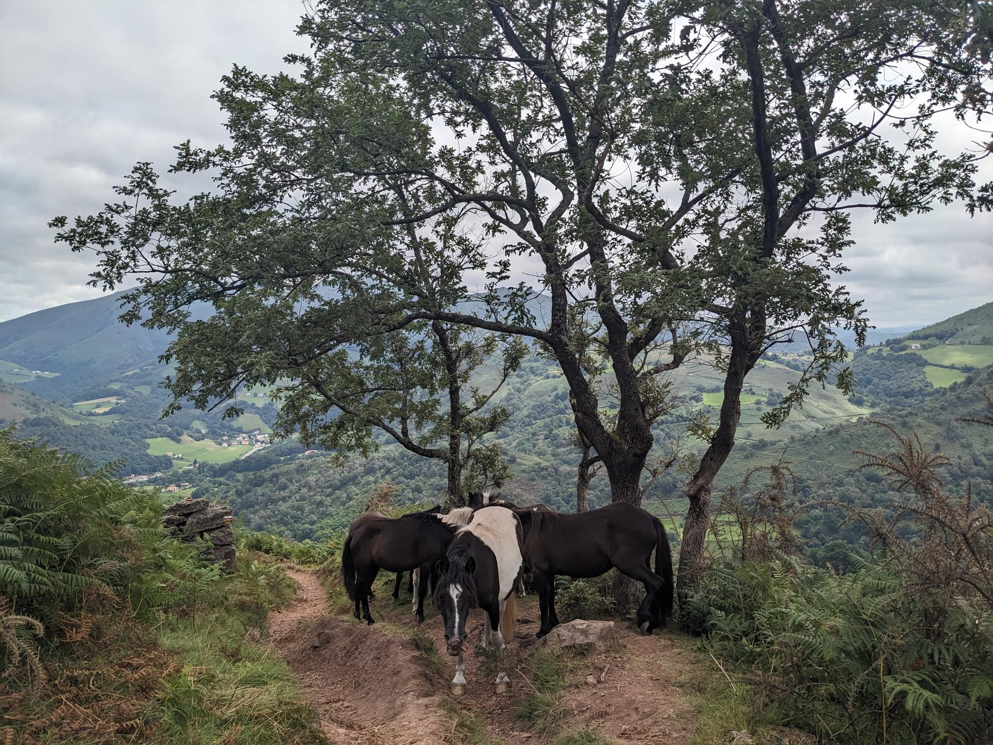
The local poneys, Pottok: https://en.wikipedia.org/wiki/Pottok on the way down

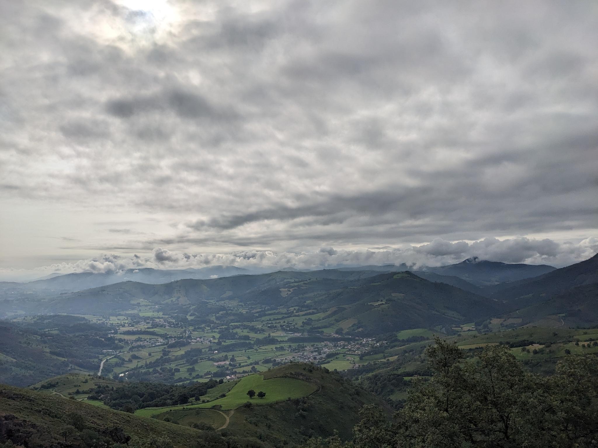
View from Larla, first climb

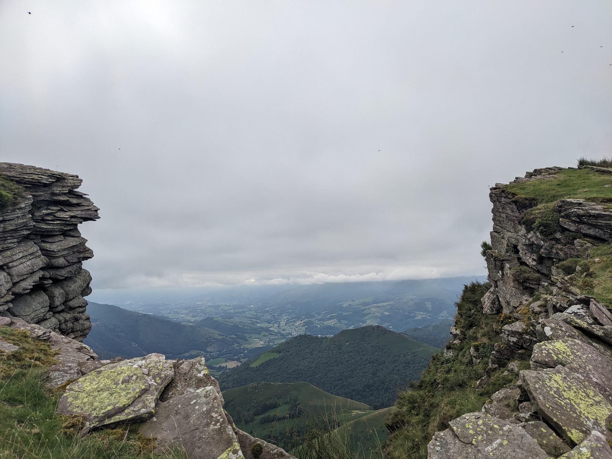
View from the Iparla ridges

-
@taziden too bad you got pulled out for 3 minutes, but you learned more about yourself and the race. Better luck next time!