Route planner glitch
-
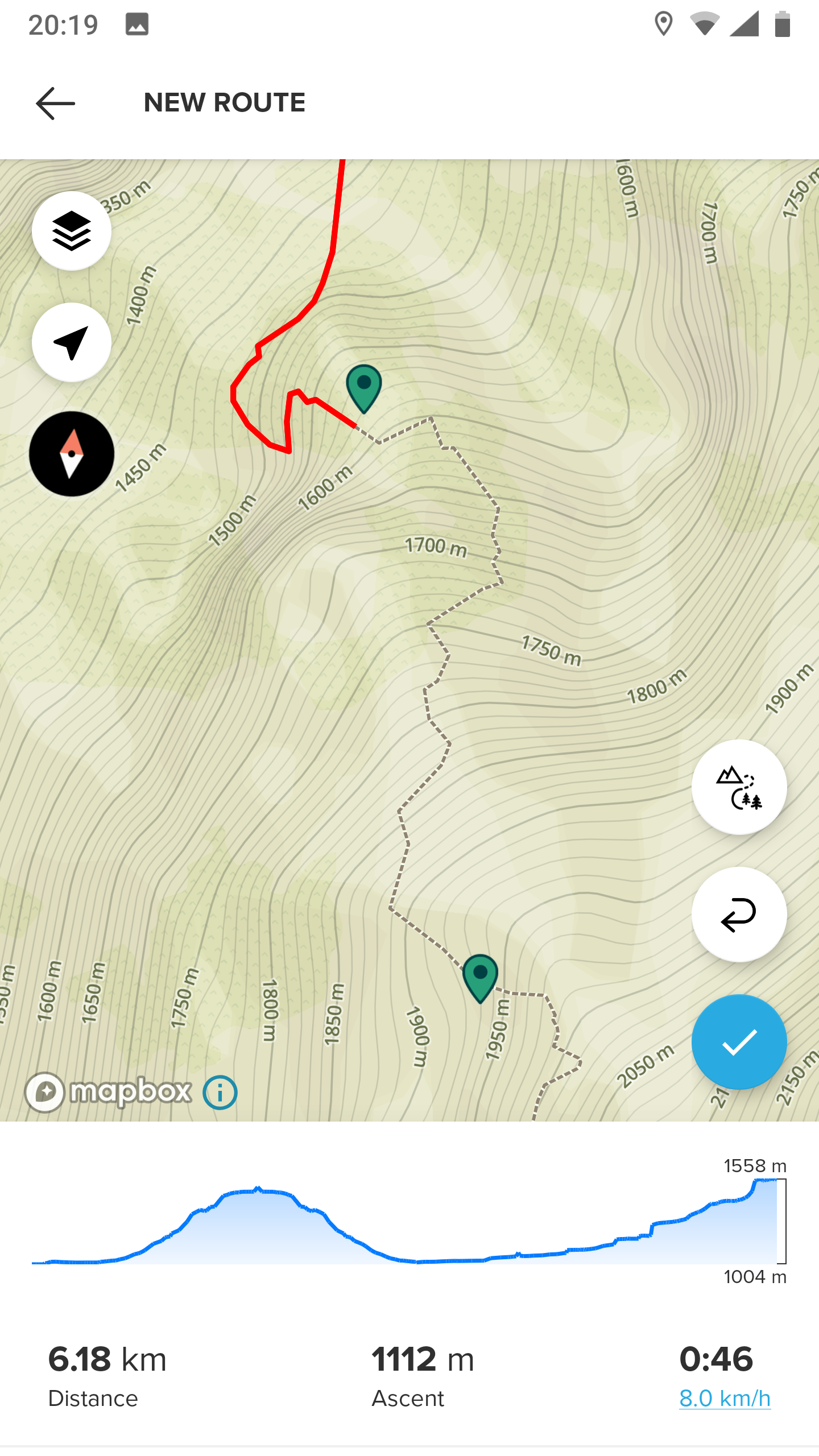
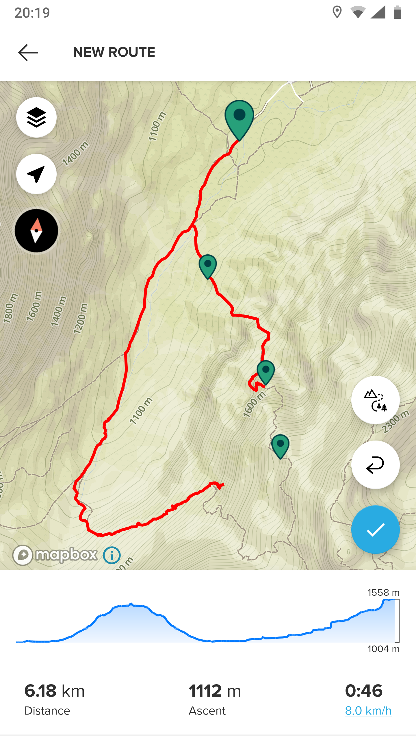
It seems to be the same issue I read about before, that automatic routing doesn’t work above a certain altitude, which is at that part of the map (Slovenia) is around 1500-1800m.
-
I know we have discussed the topic about route planner and Mapbox/Openstreetmaps are “the guilty”… I tried to report one issue to them and noticed it is very cumbersome to do that.
I don’t understand why routing is such a big thing.
In SA I choose “follow any road or path, by foot” or “all road types, cycling” for whatever reason it does not follow the road but takes deviations again. This is an official swiss cycling path registered in the official cycling path network… it’s nice to have a routeplanner but it is really annoying to use it
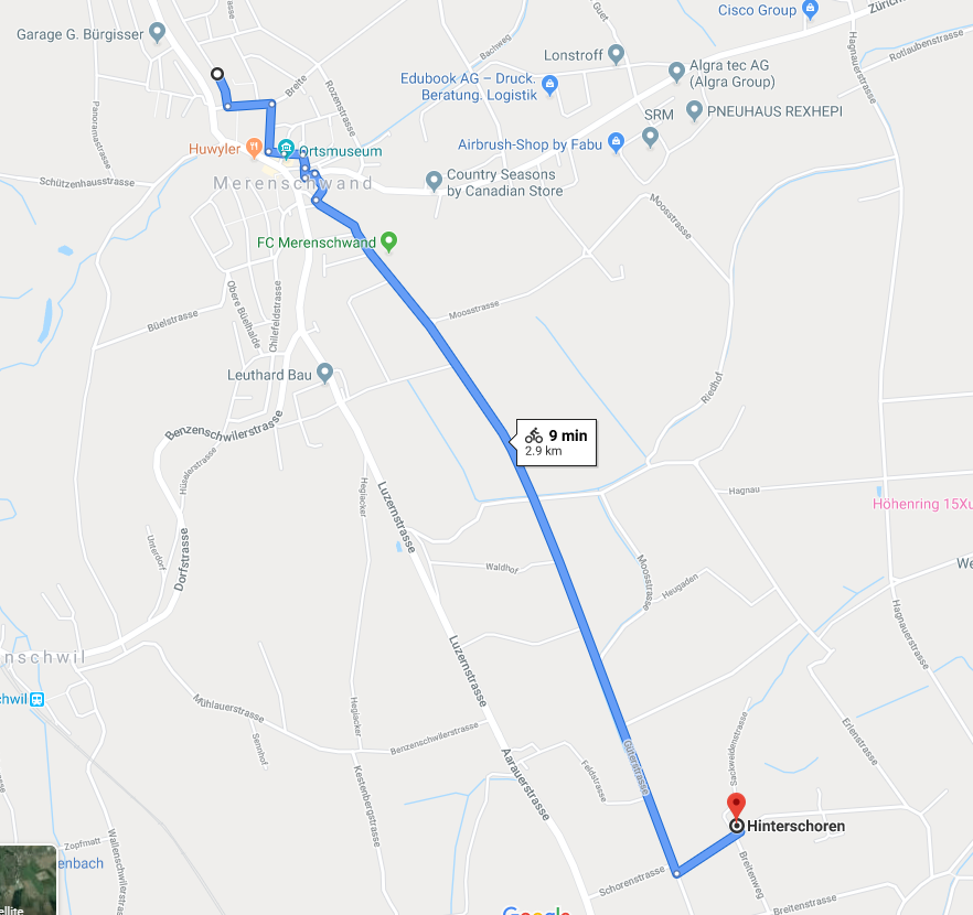
Google Maps works fine in that area…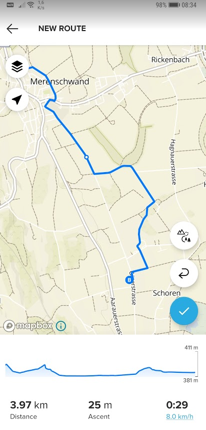
living sideways
-
@TELE-HO
As a test, have you tried Gaiagps or something else ? -
@sartoric
now I did…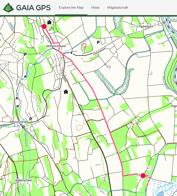
-
@TELE-HO
That’s curious, as I see now (or I never noticed it before) Gaia is using MapBox too.So maybe it’s due to how SA request the info to retrieve the path info.
-
@sartoric
despite that, SA now calculates about 50% too much vertical climb… same like MC did… this was not always the case as I once tested it and it was scary precise -
@TELE-HO said in Route planner glitch:
I tried to report one issue to them and noticed it is very cumbersome to do that.
I don’t understand why routing is such a big thing.You are generally better off by fixing those issues yourself at OSM or find someone who is comfortable with OSM edits and does this for you. Features in OSM have tags and different routers can behave bit differently when interpreting those tags.
For example test that same route here - https://www.openstreetmap.org/directions?engine=graphhopper_bicycle&route=47.2582%2C8.3771%3B47.2422%2C8.3887#
and switch between Bicycle (OSRM) and Bicycle (GraphHopper). Now move start and destination points around to spot those junctions where deviations take place, e.g something like this - https://www.openstreetmap.org/directions?engine=graphhopper_bicycle&route=47.25257%2C8.38292%3B47.25050%2C8.38420
And check tags of those roads that routers seems to avoid (left click on a map, query features). Compare against roads and paths that router is happy with.So one of those offending sections seems to be https://www.openstreetmap.org/way/403869005
While It doesn’t actually restrict cycling, there are some restrictions set up (motorcar=destination; motorcycle=destination ) and those are probably enough to make some routers prefer alternatives. If I had enough local knowledge, I’d first add bicycle=yes to this and all other similar sections on that cycling route to help out confused routing services. -
For calculation of routes by bicycle there is a great web application (also available as Android app), that allows to customize the available routing profiles (avoid hills, no-go-areas, preference of low traffic, shortest route and more). The calculated route can be used with SA.
https://brouter.de/brouter-web/#map=5/50.990/9.860/osm-mapnik-german_style
https://www.instagram.com/moves.are.life/
Suunto Vertical Black Lime
Suunto 9 Peak Pro Black
Suunto Spartan Ultra Stealth Titanium -
@pilleus
Yep.
Brouter has also great offline capabilities, as add on for other apps (like LocusMap). -
@Mff73 said in Route planner glitch:
AndLocusMap
has a Wear OS add on, which works great. Another option for the Suunto 7.

-
@pilleus
… avoid hills… I prefer them to collect more vertical meters")
Thanks guys, I’ll check this out on the laptop, soonish
Hello! It looks like you're interested in this conversation, but you don't have an account yet.
Getting fed up of having to scroll through the same posts each visit? When you register for an account, you'll always come back to exactly where you were before, and choose to be notified of new replies (either via email, or push notification). You'll also be able to save bookmarks and upvote posts to show your appreciation to other community members.
With your input, this post could be even better 💗
Register Login