Experience using SA route editor in a new location while on vacation.
-
Thanks for the quite stupid. Good feedback
-
I so agree with the stupidity of the “planning starting point” after the “reconnaissance phase” in unknown areas… and have (up)voted accordingly.
Satellite map quality has been rather decent for me, even in less populated areas, when it was really blurry it mostly was connected to a slow connection (mobile data and probably even to the server). The satellite images for Hawaii I just checked with good data connection do not seem to be bad at all, but this is just my 2 cents. -
Plus one for not resetting the map location when starting route creation
-
@silentvoyager about missing trails :
TLDR : You can make Suunto maps better !
Hello guys, for few days, I studied how I could improve the maps that’s are available in Suunto App or Movescount, because most of the time, my favorite trails are missing, even if the Heat Map show them
So I did dig into the process :
-
Suunto maps are using Mapbox
-
Mapbox is using OpenStreetMap data
-
Anyone can contribute to OpenStreetMap !
So based on my local knowledge, satellite images, GPX and heat maps, I did add the missing routes in areas I know !
Just for information, it look something like a week to get the data from OSM (OpenStreetMap) to get integrated into Mapbox => Suunto
So feel free to do the same, it’s fun and pretty addictive.
Here is my OpenStreetMap Profile :
-
-
@Bastien-VALLET
Agree
I do the same for un known peak names where I live
Even discuss with some oldtimers People living there that knows old place names that are on no récent maps. It is so nice to discuss with them about our modern tools with GPS, but they often know better the place than is, and have many names for many places with many past stores there.
Even old mainly closed paths to discover again, and take some time to open them again (hard work but worth it) -
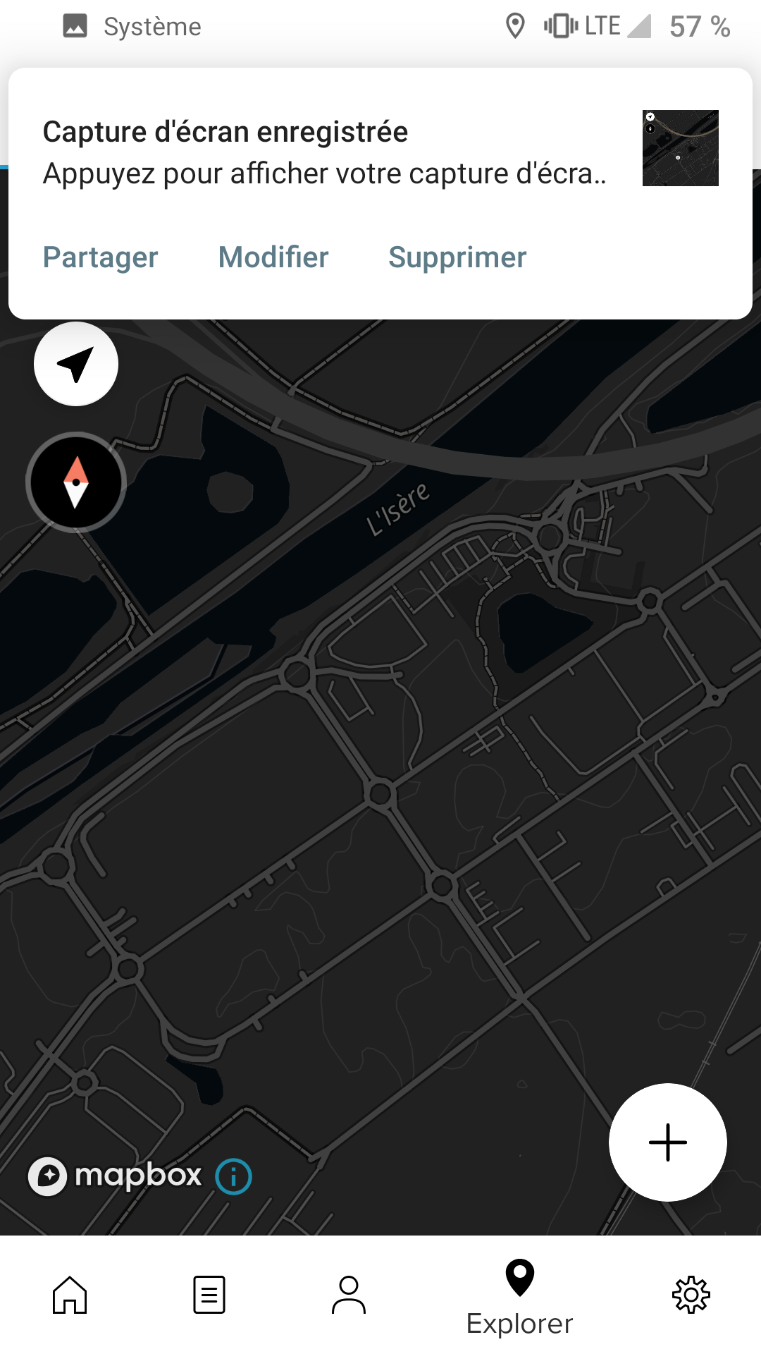
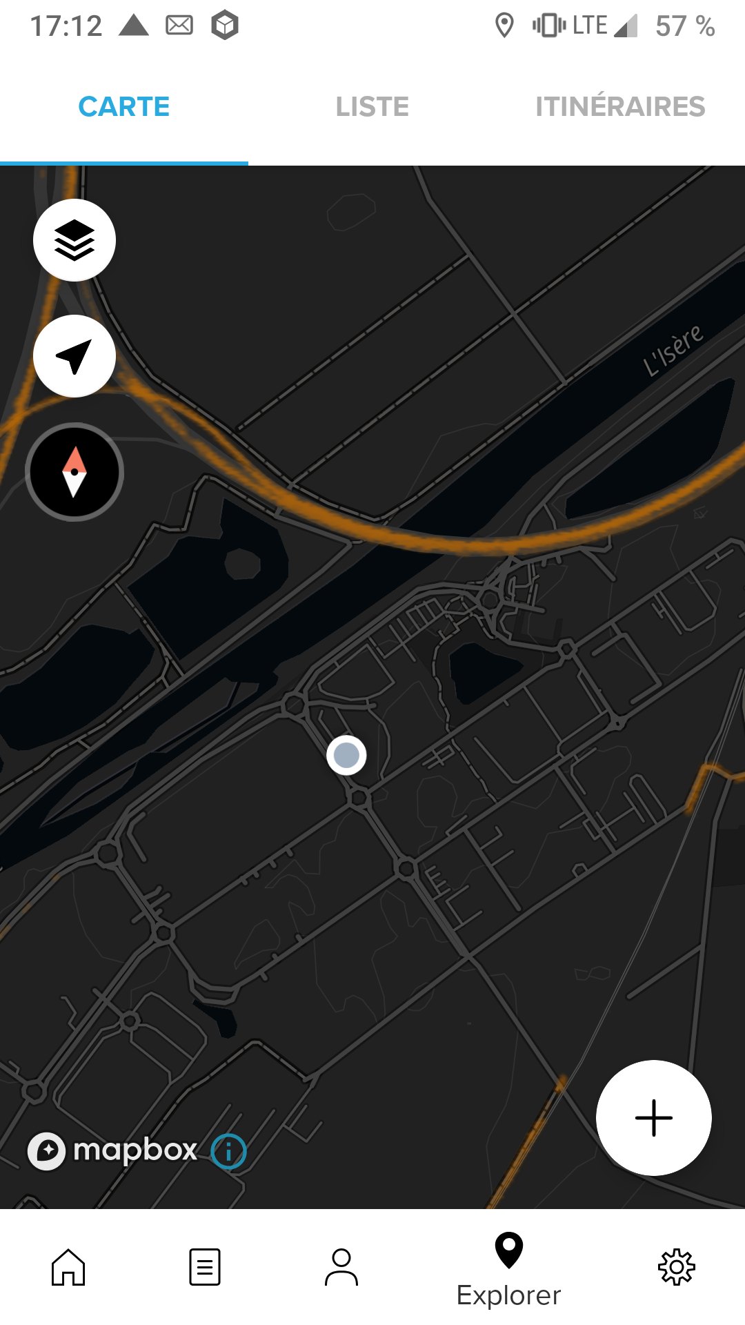
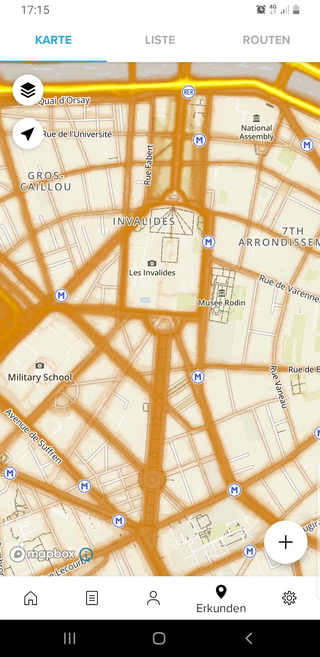
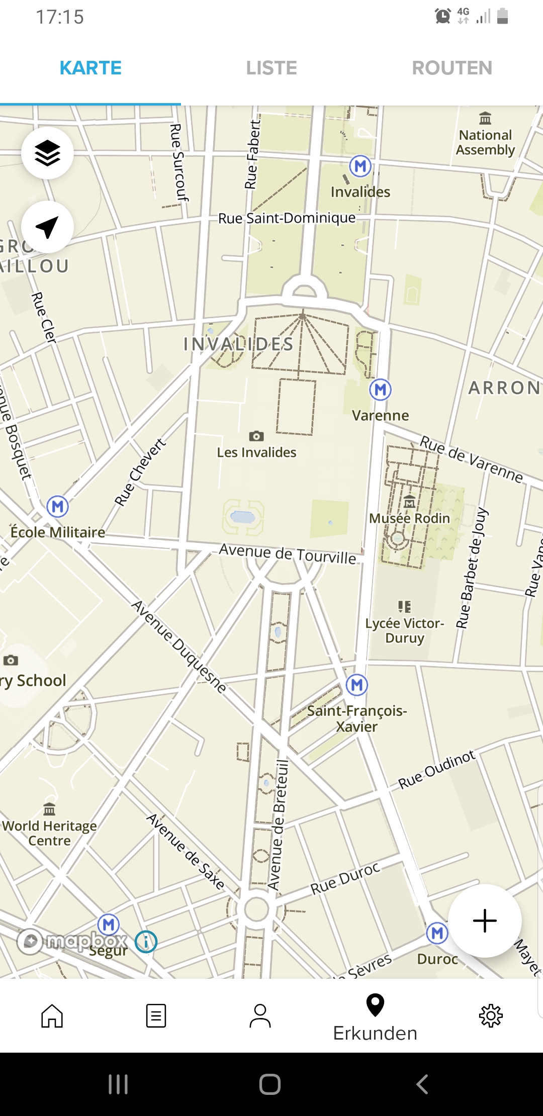
I’ve done some edits to OSM maps around where I live in the past. And yes, my edits have been propagated everywhere, even to Google maps. But the point of this discussion is improving route editor in Suunto App. At a minimum a better job should be done with displaying the heatmaps overlay. I checked that in Movescount route editor there is no limitation and heatmaps overlay is shown on all zoom levels.
-
I up this post, specially for the heat map that disappear after some zoom level.
For manual plotting of an unknown route, it is mandatory to zoom higher and rely on heat map tracks precision. -
@Mff73 I have created and issue for this. The Max zoom level does not work well. Looks like an mapbox issue.
-
@Dimitrios-Kanellopoulos.

-
@Mff73 Should be solved with 4.8 can you verify?
-
@Dimitrios-Kanellopoulos
Nope, still the same with post release 4.8 version.


-
Using 4.8.0 (apk) an Android and confirm the disapperaing, too.


-
I will uninstall and install official and see.
4.8 is forceclosing each time I enter in an activity detail. -
Keep me posted.