What do you expect from the next update?
-
@Brad_Olwin something like that I guess.
I’d like to have that also
(Extract from French ign map, just as example)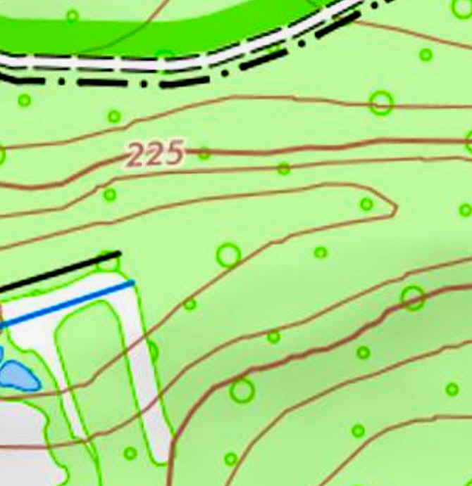
-
@Felix-0 I agree. But as far as I know stress levels are not measured on SV. At least it does not show anything on the resources or anywhere else.
-
I’d like it if a different map base could be selected. Maybe the great mapy.cz. But that’s probably utopian

-
@Pavlas Its not the problem of the map base, the one used by Suunto (openStreetMap) can provide the lines, but it needs to be implemented by Suunto.
Also, mapy.cz use OpenStreetMap too (https://wiki.openstreetmap.org/wiki/Mapy.cz)…soooooooo, your utopian wish is already granted ?
-
@fluca, I’m with you!

-
-
@Pavlas That’s…very weird of them, the goal of opensource mapping is that everyone contributes to the map…why would they not share their map data with OSM ?
-
@Elipsus I don’t know…
-
@Brad_Olwin Yes, it have under 500m. But above that it dont show Any.
I work in the military and i use the watch alot! Its Great but hard to use sometimes when i need to travel far and therefore I need to use a map and compass instead.I altso want be able to use the touchscreen on the Vertical to set POI. Would be great!
-
@Iggge the contours above 500 meters went with the last update, rumour has it they will come back. You can of course set your current location to POI via the watch, using the touchscreen would be an excellent addition.
-
@Audaxjoe Hope it will come back.
Yes, i have used POI alot, but want to use the touchscreen sometimes. -
Is it possible to change the alarm distance during navigation after leaving the route from 100m to shorter.
If I’m walking in the mountains and I get off the trail, that 100m is a big loss of power. It might be worth setting this distance to 10-20m or introducing options for manual input, depending on individual needs or choice of sport. For cycling, 100m will be short, but for trekking it is already a considerable distance. -
When I have the dial set to 4 parameters during activity, the current time displayed is very faint. It could be enlarged.
-
@neverhood not possible for either. I think the fonts available restrict the size of the time.
-
Suggests adding pressure measurement.
-
@neverhood said in What do you expect from the next update?:
Suggests adding pressure measurement.
Check the Weather Insights Suunto+. Is has pressure with trend:
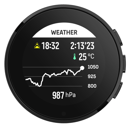
https://www.suunto.com/sports/News-Articles-container-page/discover-dozens-of-suuntoplus-sport-apps-for-your-suunto/ -
I don’t know what will bring the next update, but it’s probably “close”…
A new steel solar version of the Vertical is here !:
https://forum.suunto.com/post/139986 -
-
@Fenr1r This one is already available, minus the compass info. I assume the lack of pixel density on the SV prevents this added feature.
-
@Frederick-Rochette this is more idle curiousity but since I don’t think it’s currently on the vertical, a heatmap layer that can be toggled on top of the map.
Don’t expect it, but would be oh so useful. I run in enough places where there are classic race routes that you’d never know exist on OSM.
Obvious illustration : Black Combe just OSM
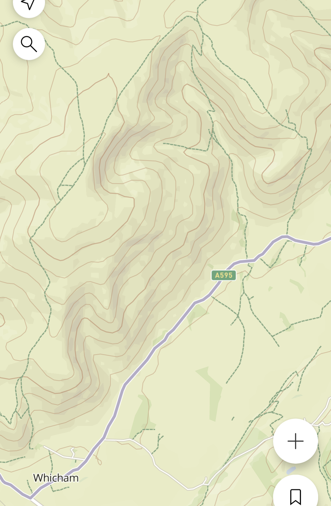
And with heatmaps
