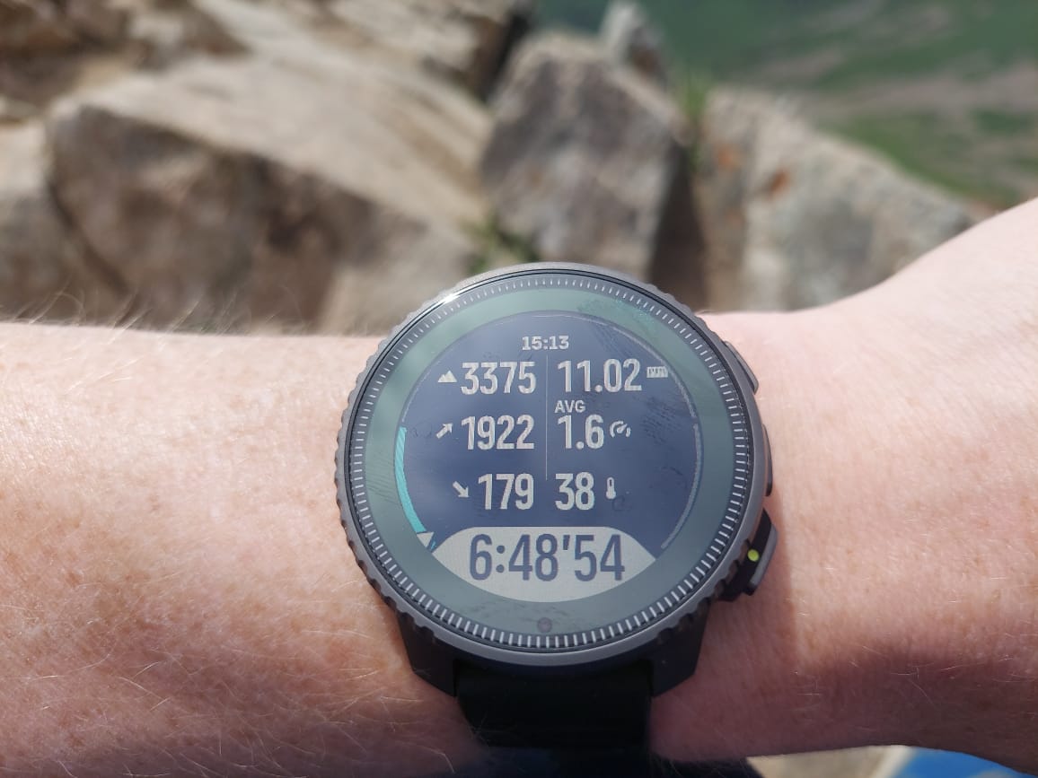
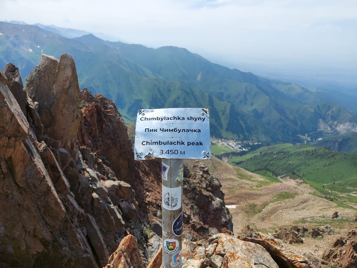
Altitude incorrect while hiking
-
@sartoric Yes, the track was ok, total ascent was correct, too. I compared with this route.
-
did you go into water?
this is a huge difference
-
@Dimitrios-Kanellopoulos I did not go into the water, and there was no rain.
-
@Sergei-Ladeishchikov I understand the other device was showing even lower altitude? That means with even bigger error?
Maybe this is a mapping problem and the actual GPS altitude is lower than on the sign post? -
@Egika another device (garmin) showed 3425 m. There were several peaks on my route, and everywhere there was a rather large difference down.
-
@Sergei-Ladeishchikov I am with one of the first replies: Let’s find out, if this was a one-time glitch out of whatever reason or if it persists.
What we can confirm is, tha FusedAlti is supposed to work also in Endurance or Custom battery modes. -
How often does Alti need to calibrate altitude? at the start of the activity? during activity?
-
@Sergei-Ladeishchikov as stated before: It tries to calibrate during the beginning of the activity. It usually takes 12-15mins which will then correct the recorded altitude backwards from the start.
Right now I am not sure if the watch will try again if it fails after the first 15min… -
@Egika what about sudden pressure drop due to storm happening i.e. 1+ hours after the start of activity? Won’t FusedAlti try to correct it after the initial calibration?
-
@Łukasz-Szmigiel fusedalti works during the whole activity.
-
@isazi what can block the work of FusedAlti? or could it be a glitch? Does it make sense in such a case to send logs to check the work of FusedAlti?
-
@Sergei-Ladeishchikov not sure, maybe related to you using good and then switching to best GPS mode. Logs make sense if you can send them after the activity, it may be too late now.
-
@isazi well, when i go camping, i will deliberately not calibrate the height myself, let the alti work.
-
@Sergei-Ladeishchikov I never use manual calibration, and my Vertical is usually very precise, or at most 5-6 meters different from the “real” altitude.
-
@Sergei-Ladeishchikov
Do you have an Android phone?
If yes, you may have a look at the raw data file of this activity and check GPS altitude registered vs fusedalti corrected one.
If yes, I will search for posts which explains how to do (too old now )
) -
@Mff73 that’s interesting, never heard of it! Yes, I have an android. What should I do for analysis?
-
@Sergei-Ladeishchikov you can download the json file of the activity and check for “FusedAlti” string etc.
-
@Sergei-Ladeishchikov
As Egika said,
Search for this kind of files
/storage/emulated/0/Android/data/com.stt.android.suunto/files/smlzip/entry__.zip
There are two json files in this zip, samples is containing your activity data with lots more information than displayed in SA
-
@Mff73 Thank you, I have already reached this point). Thanks to Egika, I saw that FusedAltiUsed:true. Also, about halfway through the hike, I saw that the Altitude and GPSaltitude were very different, 3265m and 3349m respectively. I am in touch with Egika.
-
@Sergei-Ladeishchikov hello, what was the conclusion here? have you figured out what was the problem?
Thank you.

