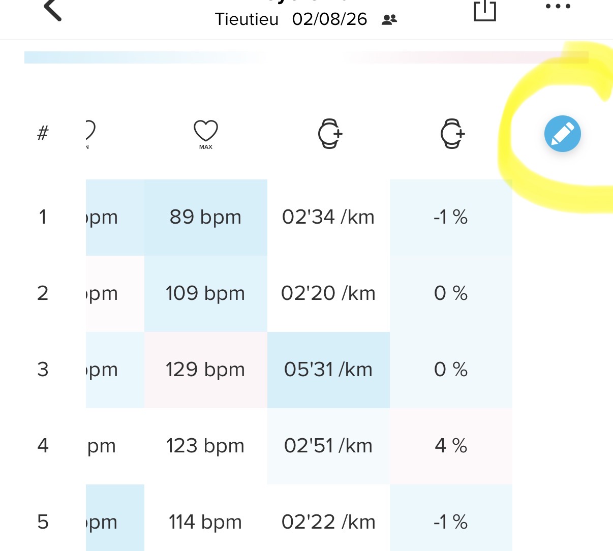
Thanks for the reply. You’re right that app and watch values often don’t match exactly — but that’s not what’s happening here.
In my case the TSS widget works fine and shows correct data. The problem is specific to the Progress widgets (CTL, ATL, TSB), which show 0 both in the app and on the watch.
So the distinction is:
TSS widget → correct ✓
Progress / CTL / ATL / TSB widgets → 0 everywhere ✗
This makes me think the issue is in how the platform calculates or serves the accumulated training load data (CTL/ATL/TSB), not in the sync between devices. And since it persists after a full factory reset, it’s clearly not a local data problem.
[image: 1783353061695-img_8183.jpeg] [image: 1783353068620-img_8182.png] [image: 1783353097619-img_8181.jpeg]