Real world data
-
@isazi
Hey, where are you near in the French Alps? -
@mff73 spending a week mountaineering in the Écrins!
-
@isazi
Enjoy, nice and perfect massif for this. -
@isazi nice place to hike or trail


Less than 2 hours from my house but i don’t know there very well
-
@isazi How do make this comparison?
-
-
@isazi I’m a user - just not sure about how to go about making the comparison

-
@wakarimasen record the activity with two or more watches, sync them to QS, then select and merge activities
-
@isazi Great stuff - thanks!
-
just a short comparison an my run today
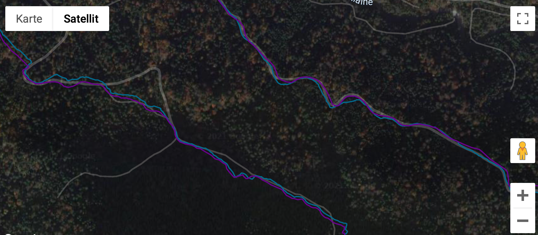
S9P (violet) is also very good. the Vertix (blue) is a bit smoother and gets some curves a bit better, but this is only in detail.
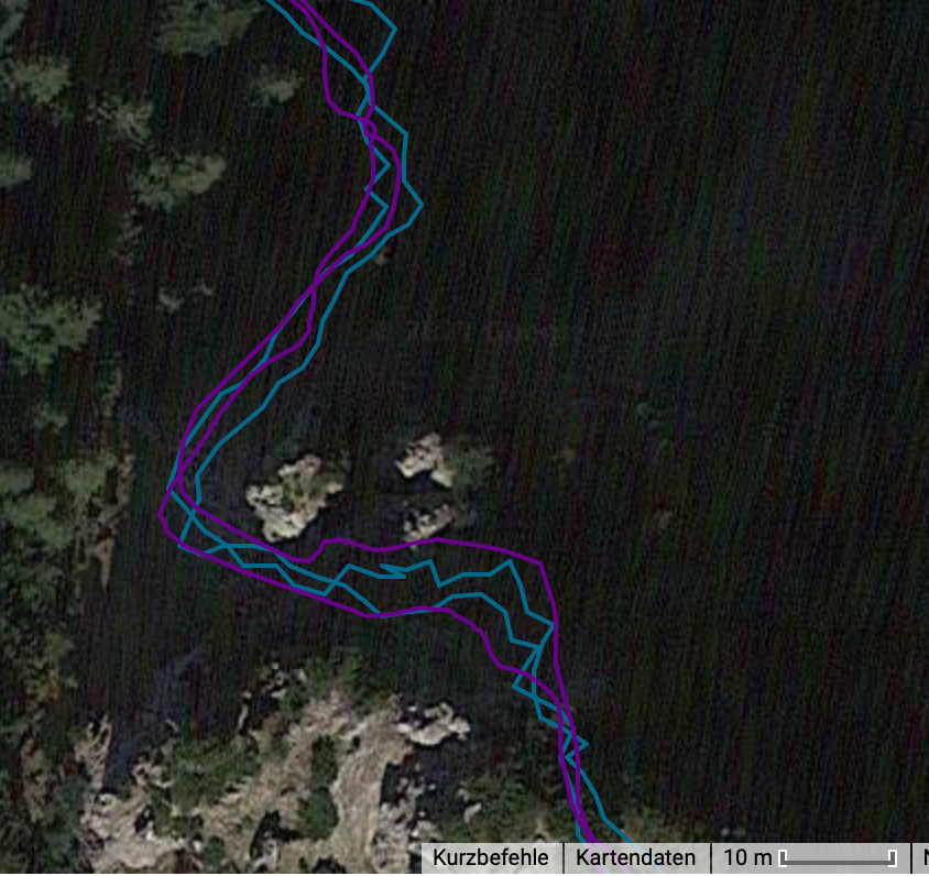
Here is a tricky part because high rocks surround the steep path (UIAA 1). Coros smoothes it a bit more so it looks a bit better. Therefore the upper violet track is a bit off track but blue makes that “step backwards” below the upper right rock.
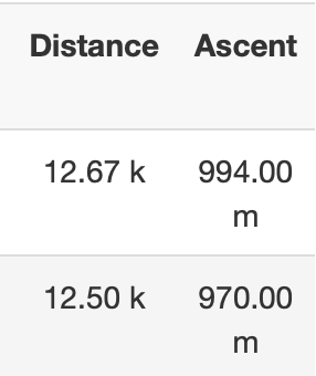
I don’t think in this detail you cannot say that anyone is better or worse than the other. Both do a very good job.S9P is above. I would say that S9P got the elevation better today. Average over all my runs up to this summit is 997m.
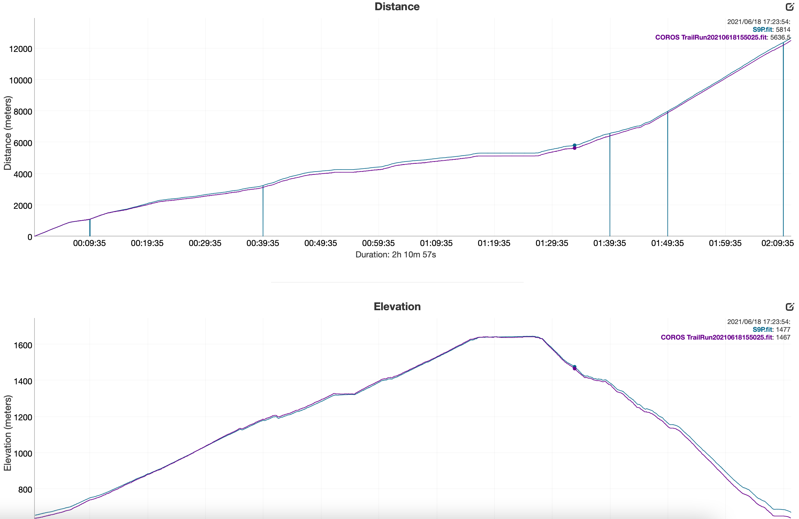
But again the “zero-values/dropped values” on the S9P. Why is this?
Battery drain:
S9P 11%
Vertix 6%I don’t test oHR as there is no watch that can measure it correctly on my wrist (only on a steady run with little HR-changes). But hiking, intervals, trailrunning especially with poles… no chance for me to get plausible oHR values.
Good job Suunto
-
@theo-lakerveld woah - that’s a HTFU effort. How often you doing 60 min straight at threshold?
-
Used mine for a couple of days and so far it’s performed impressively better than my 9 baro. Wrist hr is finally accurate (first suunto for me to do this) and ths GPS is very impressive. A worthy successor. I’ll post more once I get more runs in.
-
Pretty impressed also with the new OHR of the Peak !
Here under compared with a Wahoo HR strap during a gravel ride. Still some small bug but for the majority of the ride that was spot on !
GPS track is also very consistent. Only 0.3km difference for a 50k ride.
-
@v-sacre
I add also I first good impression for the OHR , I wanted to record the activity with my polar H10 HRM unpaired but forgot to activate recording on polar App.
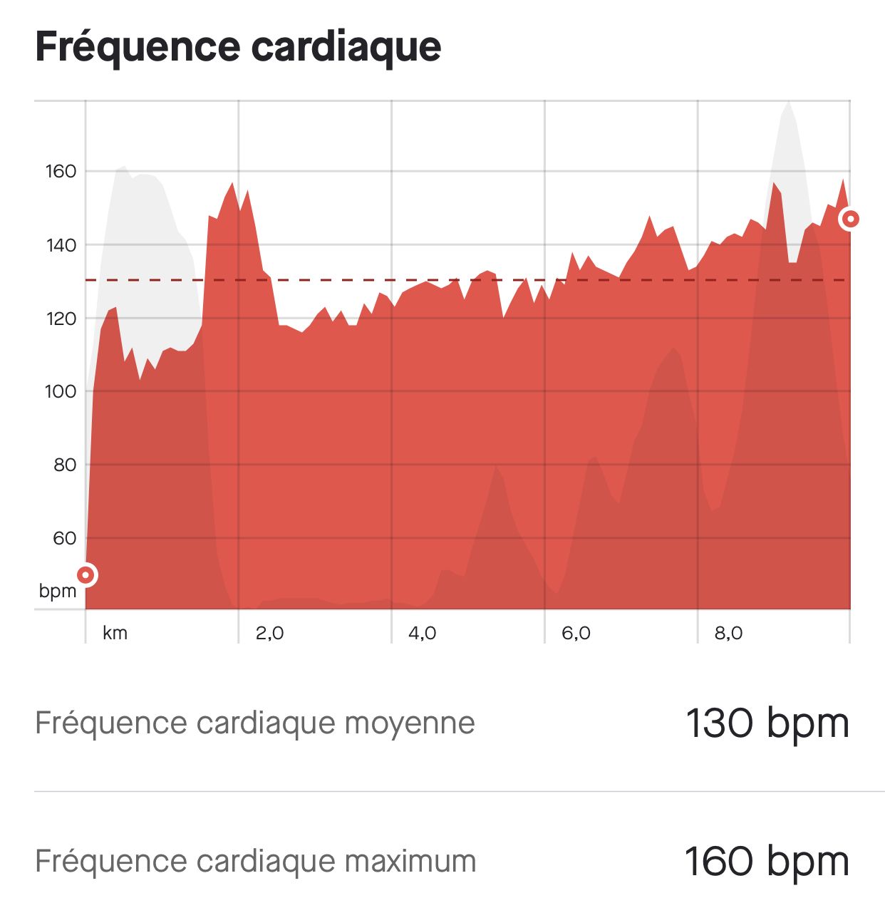
Tomorrow I will record with my trusted HRM to study more thoroughly this small peak
I also tried snap to route feature although this is not specific to S9P but to firmware. It plots very satisfying tracks

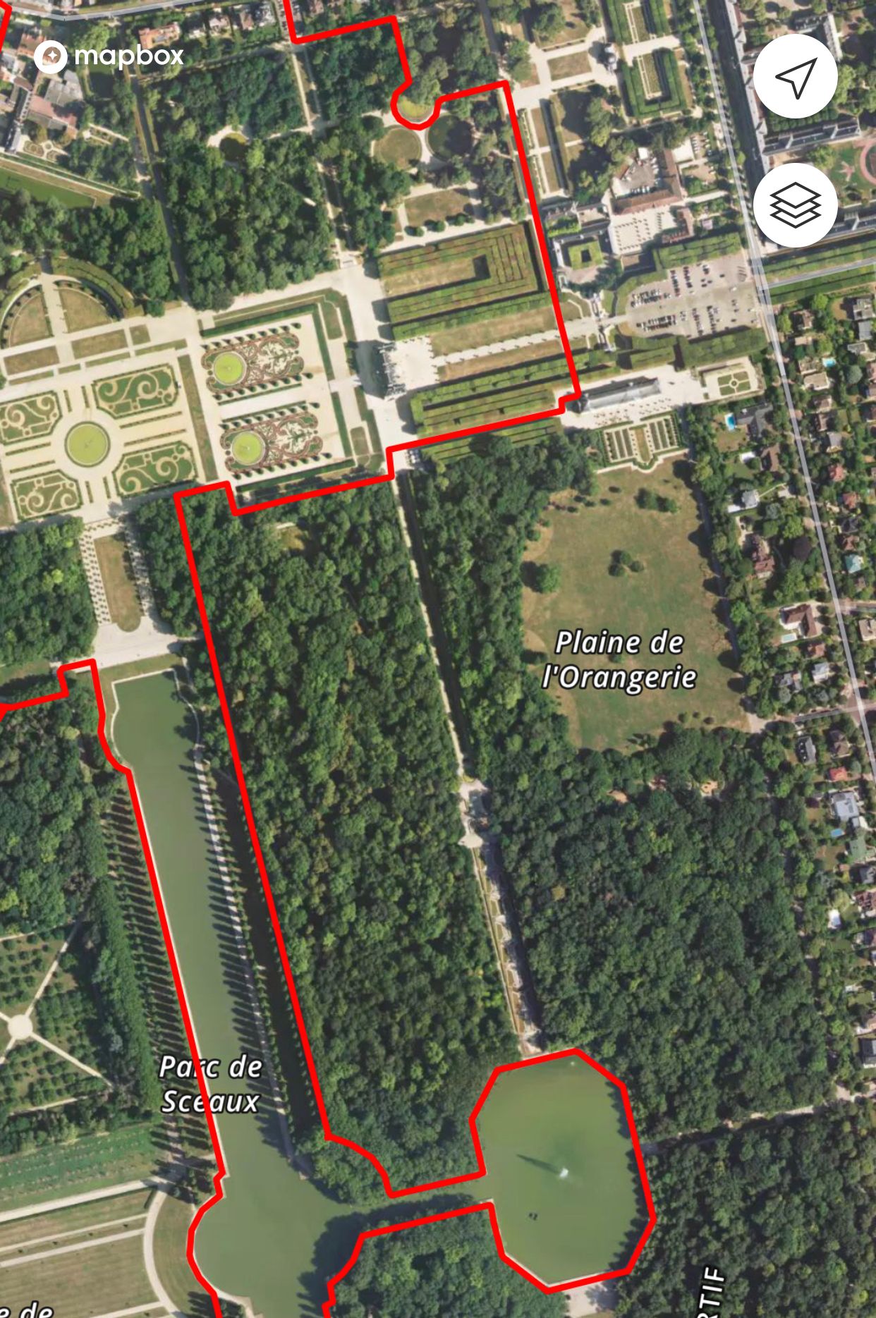
This is a very good feature for regular pacing , now I can really trust the displayed pace during a workout
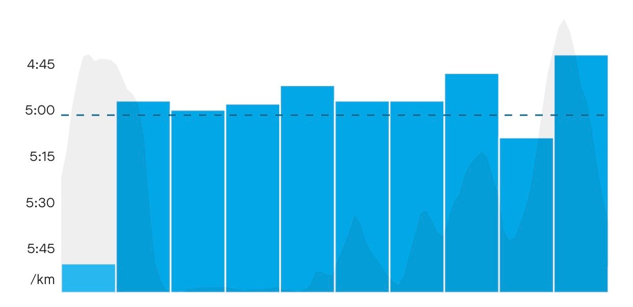
Just at the end you have to stop the activity at the end of your route . If not, the gps recording continues but not distance which remains blocked at the route length !!
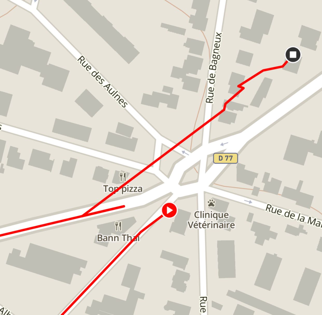
Also if you have a foot pod the distance displayed on the watch may be different at the end as it is specific to calibration.
-
@chrisc92 I don’t understand the usefulness of this function. I think we want to see the real route we’ve done, not the THEORICAL one
-
@andré-faria Hey André, I guess it was my fault, I mixed something up, that’s not the GPS Data, the brown line was something from the map. But it looked like the data … sorry for that
-
@ink357 when the real route is prone to be bad , for example new York running cannyons etc or even a race you can just get the theoritical route , and not worry why your watch gps went south adding 1-5km more or less.
Since you want to see the real route , just don’t use this feature

-
@ink357 that is exactly what it does , when I run on a route the GPS doesn’t record the exact route because of trees , direction changes, wheater. So the pace is not often true .
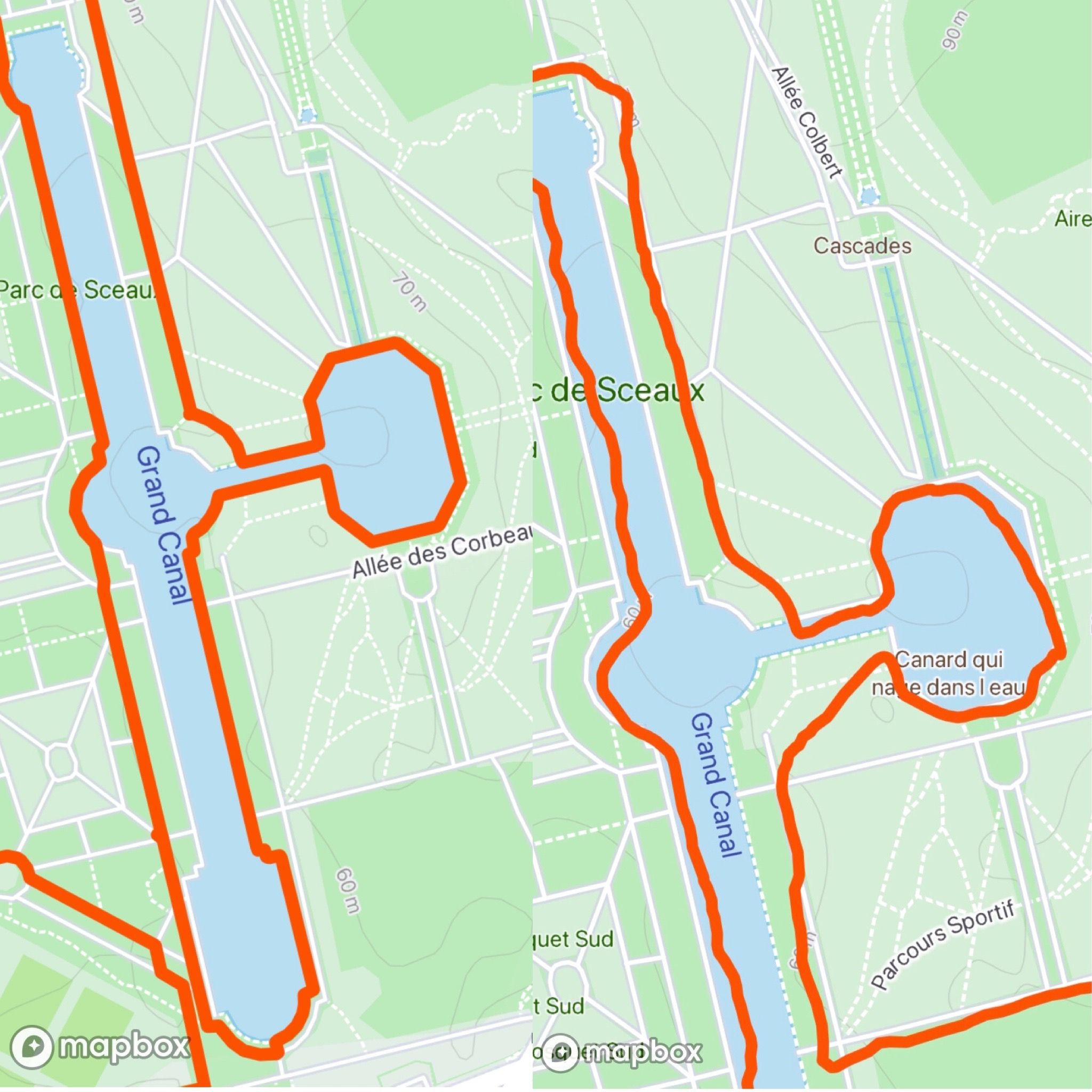
The route is not he theoretical path it is where I ran exactly. GPS make people run through building or water this is not true -
@dimitrios-kanellopoulos said in [Real world data](
Since you want to see the real route , just don’t use this feature

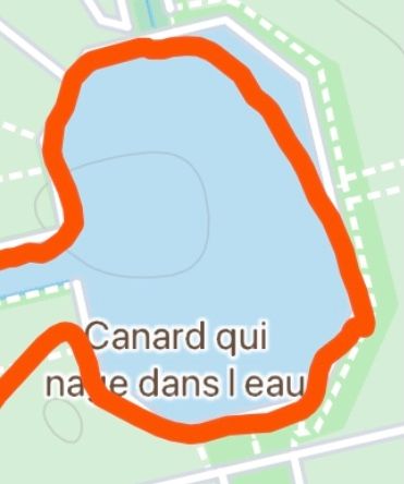
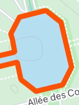
Ten year running around this small duck pond , people thought I was cuting the edges

So what is the real route ?
-
@Dimitrios-Kanellopoulos @chrisc92 said in Real world data:
The route is not he theoretical path it is where I ran exactly. GPS make people run through building or water this is not true
I run a lot in trail and I often have to miss the “real” path or cut through wood.
I worry about the fact that the software “forces” my route on the theoretical route